What is recorded here
Incorporated into the enclosing wall of a cashel (GA103-086001-) at NNW is a later solid stone structure (H 3m; L 6.3m; Wth 2.8m; ) which may have acted as a lookout or may be a folly. It is marked and named ‘Tower’ on 3rd ed. of OS map (1933). (Westropp 1919, 178; McCaffrey 1952, 189, no. 77)
Compiled by: Galway Archaeological Survey, UCG
Date of upload: 19 January 2017
From the National Monuments Service (Archaeological Survey of Ireland) record GA103-086002
The monument record does not grant public access. Check the route and ask the landowner before entering private land.
- What survives
- Recorded monument
Places near here
Photo credits
- National Inventory of Architectural Heritage
- dougf, Wikimedia Commons · CC BY-SA 2.0
- Mac McCarron, Geograph · CC BY-SA 2.0
- Mac McCarron, Geograph · Creative Commons Attribution-ShareAlike 2.0
- Rryswny, Wikimedia Commons · CC BY-SA 4.0
- Jsilke, Wikimedia Commons · CC BY-SA 4.0
- Joe Silke, Wikimedia Commons · CC BY-SA 4.0
- Ian Capper, Wikimedia Commons · CC BY-SA 2.0
- Ian Capper, Geograph · CC BY-SA 2.0
- Gareth James, Geograph · CC BY-SA 2.0
- N Chadwick, Geograph · CC BY-SA 2.0
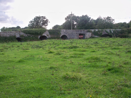 Dunkellin BridgeBridge · 1.5 mi
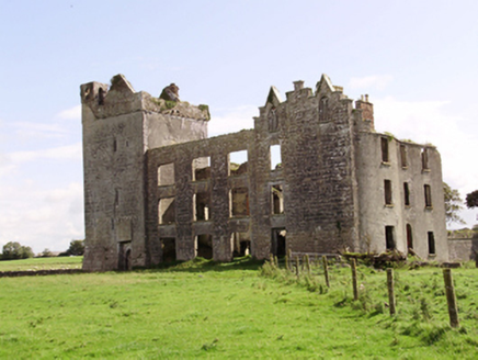 Castle TaylorCountry house · 1.6 mi
 Round Tower (in ruins)Round tower · 2.6 mi
 Site of Kilcolgan CastleCastle, tower house · 2.7 mi
 Grave YardGraveyard · 3.2 mi
 Drumacoo Monastic SiteHeritage attraction · 3.5 mi
 Drumharsna CastleHeritage attraction · 3.6 mi
 Drumharsna Castle (in ruins)Castle, tower house · 3.6 mi
 InishcorraIslet · 7.8 mi
 Tawin IslandIsland · 8.7 mi
 Ballyloughane BeachBeach / strand · 9.7 mi
 Browne DoorwayVisitor information · 11 mi
More archaeology and monuments in County Galway · All of County Galway
What do you know about this place?