What is recorded here
Road bridge (Wth 4.4m) over River Shournagh; four large semicircular arches with roughly cut voussoirs; rough corbels along base of piers to support centering for arch during construction. One original pointed breakwater survives to full height; others cement. Bridge width extended to W by c. 1.8m with similarly-shaped arches, roughly dressed voussoirs and low shallow rectangular breakwaters. Third arch from S replaced with dressed voussoirs and cement underpinning. Flat arch, supported by iron beam,inserted at N end of bridge to carry Cork-Blarney railway line (now closed, track removed). Rusticated limestone in railway bridge piers and coping of parapet wall overhead.
The above description is derived from the published 'Archaeological Inventory of County Cork. Volume 3: Mid Cork' (Dublin: Stationery Office, 1997). In certain instances the entries have been revised and updated in the light of recent research.
Date of upload/revision: 14 January 2009
The monument record does not grant public access. Check the route and ask the landowner before entering private land.
- What survives
- Recorded monument
Places near here
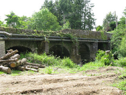 Tower Bridgebridge · 1 yd
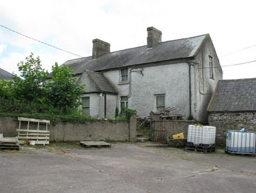 farm housefarm house · 545 yd
 Site of Grave YardBurial ground · 1208 yd
 St Anns WellHoly well · 1453 yd
 Castle (in Ruins)Castle, tower house · 1656 yd
 Lion RockNamed rock · 1.1 mi
 Blarney lake bird nest islandIslet · 1.2 mi
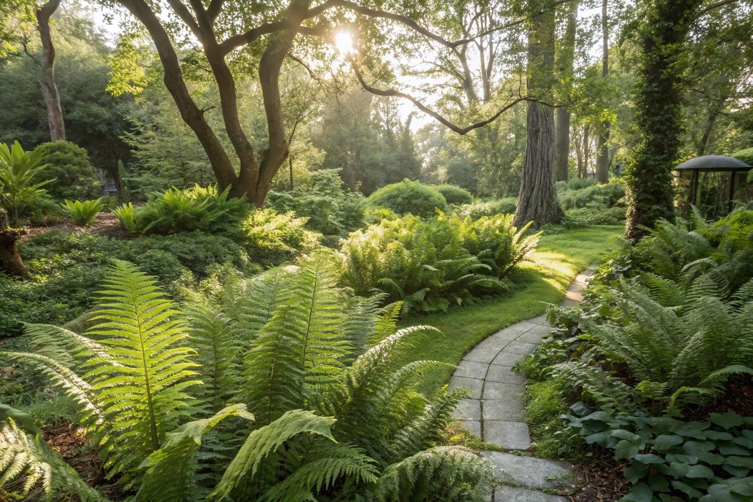 Fern GardenHeritage attraction · 1.2 mi
 Blarney LakeVisitor information · 1.2 mi
 Turner's Rock WoodWood · 1.2 mi
 Western RedcedarWestern Redcedar · 1.3 mi
 Badgers CaveCave · 1.4 mi