What is recorded here
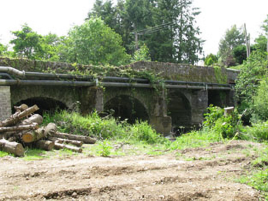
Four-arch road bridge, built c.1820, spanning Blarney River, having additional square-headed opening to north-east end spanning former railway line. Segmental-arches with roughly dressed limestone voussoirs springing from rendered piers with V-cutwaters. Rubble stone spandrels and parapet walls with dressed solider capping stones to parapets. Rusticated limestone copping stones to north-east ends of parapets over square-headed railway arch.
This bridge is a solidly constructed example of a nineteenth-century road bridge. The upstream cutwaters were designed to lessen the impact of water on the bridge, thus protecting its structural integrity. The additional square-headed span at the north-west end appears to have been added at a later date to accommodate the Great Southern railway line. It uses cut limestone blocks in its construction, typical of railway bridge building.
This does not grant access. Most recorded buildings are privately owned; view them only from public ground unless the owner allows entry.
Places near here
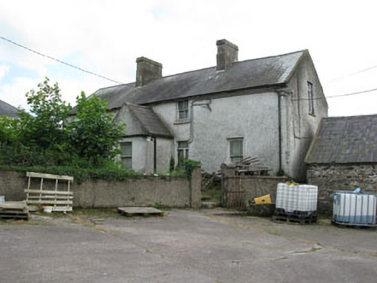 farm housefarm house · 546 yd
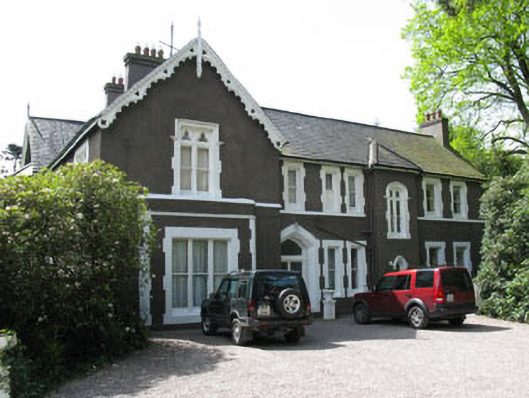 Maranatha Houseguest house/b&b · 657 yd
 Site of Grave YardBurial ground · 1209 yd
 St Anns WellHoly well · 1454 yd
 Castle (in Ruins)Castle, tower house · 1656 yd
 Lion RockNamed rock · 1.1 mi
 Blarney lake bird nest islandIslet · 1.2 mi
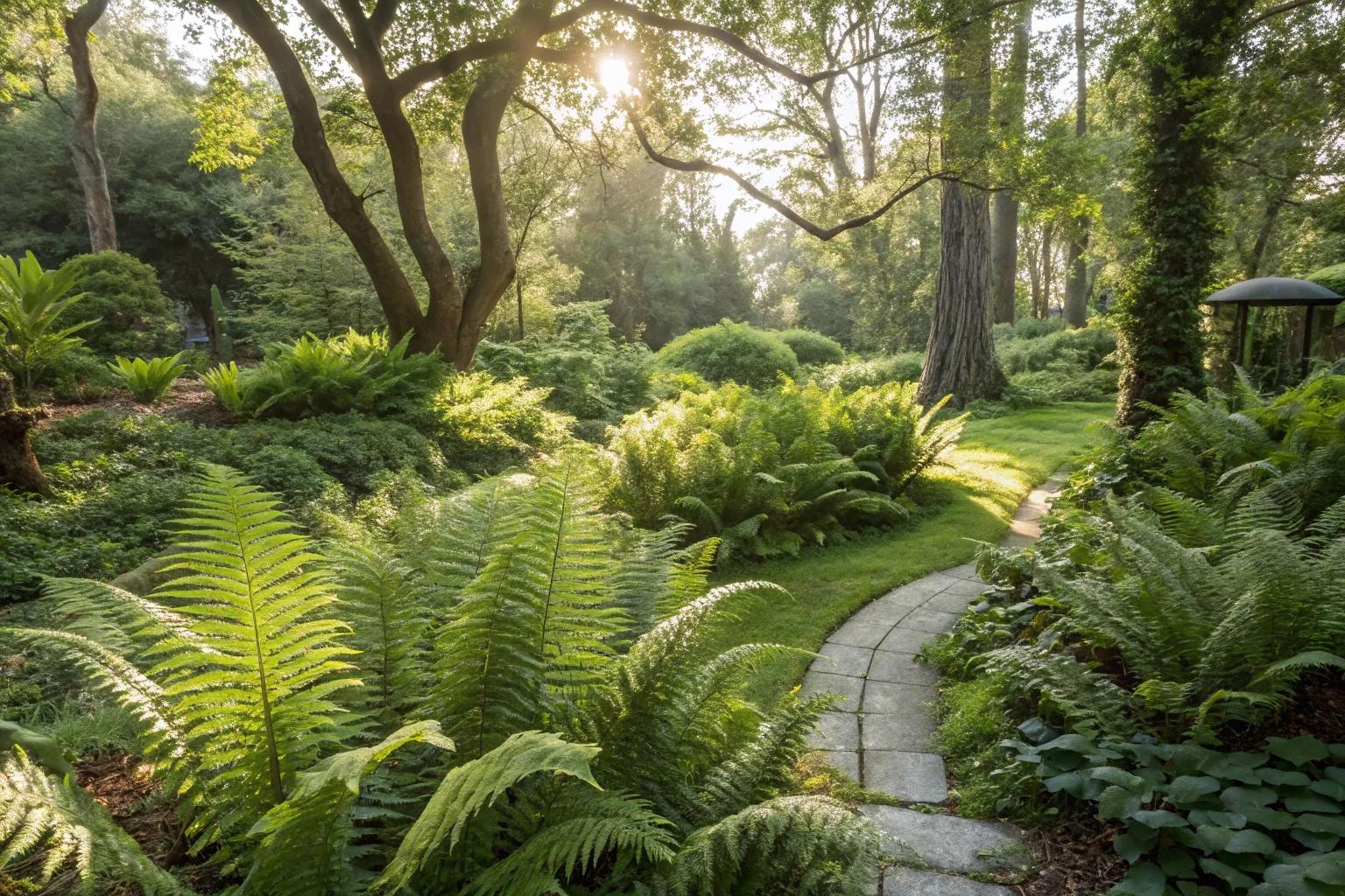 Fern GardenHeritage attraction · 1.2 mi
 Blarney LakeVisitor information · 1.2 mi
 Turner's Rock WoodWood · 1.2 mi
 Western RedcedarWestern Redcedar · 1.3 mi
 Badgers CaveCave · 1.4 mi
Other information
Photo: National Inventory of Architectural Heritage · Website use allowed for educational or private purposes with source credit