
What is recorded here
Named St Ann's well on the 1904 and 1937 OS 6-inch maps but not indicated as an antiquity. It is not indicated on the 1842 OS 6-inch map. According to local information, this well was used to provide water for St Ann's Hydropathic Establishment c. 400m to the S and is now covered with concrete. In his notes on the parish of Inniscarra compiled c. 1955, Mr D. J. O'Sullivan suggests that the name St Ann's Well is probably derived from 'Santan's Well', Santan being a disciple of Finbarr (UCC).
The above description is derived from 'The Archaeological Inventory of County Cork. Volume 5' (Dublin: Stationery Office, 2009).
Date of upload: 22 December 2009
St Ann's Well is associated with St Anne, the mother of the Virgin Mary, and such wells were often sites of pilgrimage and healing in Ireland. Traditionally, these wells were believed to have curative properties, particularly for women's ailments, and were visited on St Anne's Day (July 26th) with rituals such as leaving coins or making offerings.
The monument record does not grant public access. Check the route and ask the landowner before entering private land.
- What survives
- Recorded monument
Places near here
 Site of Grave YardBurial ground · 392 yd
 Castle (in Ruins)Castle, tower house · 599 yd
 Church in Killowen (muskerry East By.)Church · 692 yd
 Maranatha Houseguest house/b&b · 805 yd
 LisnaguirruaFairy fort / earthen ringfort · 1084 yd
 Lion RockNamed rock · 1749 yd
 Fern GardenHeritage attraction · 1.1 mi
 Western RedcedarWestern Redcedar · 1.2 mi
 Badgers CaveCave · 1.3 mi
 Turner's Rock WoodWood · 1.3 mi
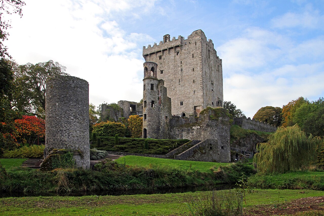 Blarney Castle (in Ruins)Castle, tower house · 1.3 mi
 Blarney CastleHeritage attraction · 1.3 mi
Other information
Photo: Credit not shown in the picture search · Rights wording not checked; contact us if this picture should be removed