
What is recorded here
Mid Cork farmland still covers the oval graveyard, hiding its graves beneath ordinary tillage. The 1842 survey marked a broken enclosure fifty to sixty metres across, but today only a faint low mound survives east of centre. Dead people may have slept there before ploughs and forgetting removed their markers. The field keeps their absence plain, offering up no name, stone or boundary to remember.
Shown on 1842 OS as oval enclosure (c. 55m E-W; c. 50m N-S) defined by broken line. In tillage, near top of low hillock. Roughly oval-shaped enclosure (c. 45m N-S; c. 66m E-W), defined by low undulation. Trace of very low mound (c. 11m N-S; c. 8.5m E-W) just E of centre, otherwise no apparent grave markers.
The above description is derived from the published 'Archaeological Inventory of County Cork. Volume 3: Mid Cork' (Dublin: Stationery Office, 1997). In certain instances the entries have been revised and updated in the light of recent research.
Date of upload/revision: 14 January 2009
The monument record does not grant public access. Check the route and ask the landowner before entering private land.
- What survives
- Recorded monument
Places near here
 St Anns WellHoly well · 392 yd
 Castle (in Ruins)Castle, tower house · 486 yd
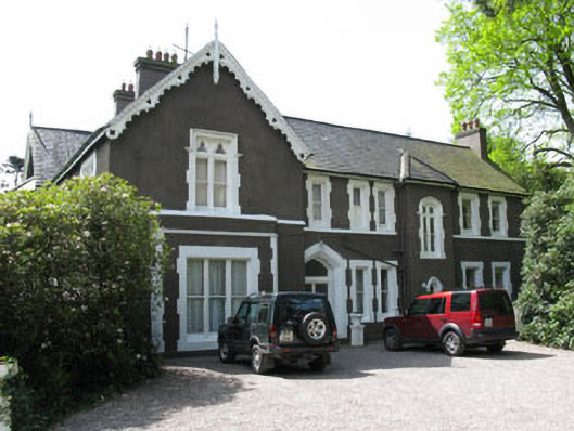 Maranatha Houseguest house/b&b · 562 yd
 Church in Killowen (muskerry East By.)Church · 926 yd
 LisnaguirruaFairy fort / earthen ringfort · 1461 yd
 Lion RockNamed rock · 1.1 mi
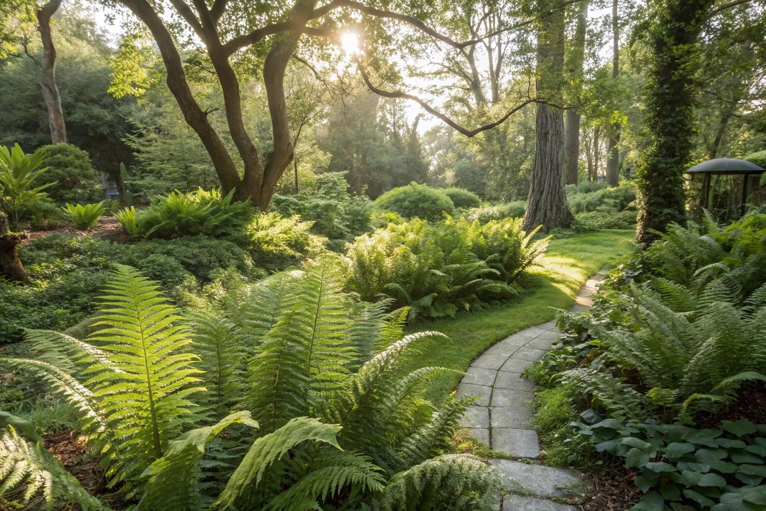 Fern GardenHeritage attraction · 1.2 mi
 Western RedcedarWestern Redcedar · 1.4 mi
 Turner's Rock WoodWood · 1.4 mi
 Badgers CaveCave · 1.4 mi
 Blarney LakeVisitor information · 1.4 mi
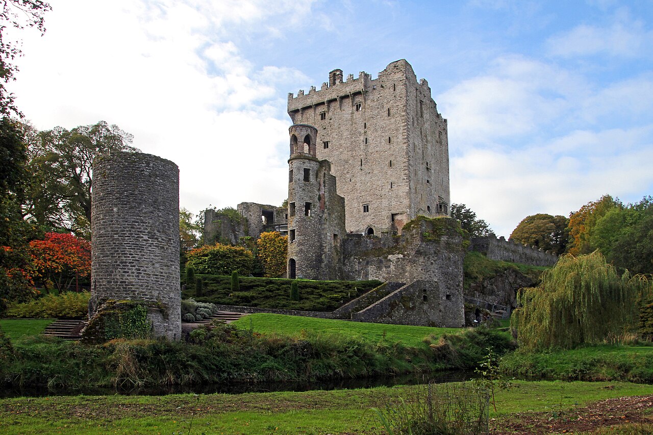 Blarney Castle (in Ruins)Castle, tower house · 1.4 mi
Other information
Photo: Credit not shown in the picture search · Rights wording not checked; contact us if this picture should be removed