What is recorded here
Tony Fort is a fairy fort in County Cavan, Ireland. It is a raised circular area about forty-six metres across, enclosed by a low earthen bank and a wide, deep, waterlogged ditch. A break in the bank at the south-east probably marks the original entrance. The shape is simple, but the waterlogged ditch and faded causeway suggest a place where human life and local belief still meet.
Raised circular area (int. diam. c. 46m) enclosed by a low earthen bank, recently faced with stone from W-NW-N, and a wide, deep, waterlogged fosse, infilled at NE and poorly preserved from E-S-W. Break in bank at SE with slight remains of accompanying causeway probably represents original entrance.
The above description is derived from the published 'Archaeological Inventory of County Cavan' (Dublin: Stationery Office, 1995). In certain instances the entries have been revised and updated in the light of recent research.
Date of upload/revision: 22 December 2008
The monument record does not grant public access. Check the route and ask the landowner before entering private land.
- What survives
- Recorded monument
Places near here
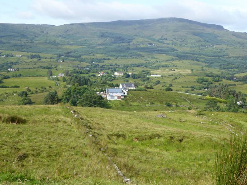 Tony FortArchaeological place · 12 yd
 IndicatedFairy fort / earthen ringfort · 887 yd
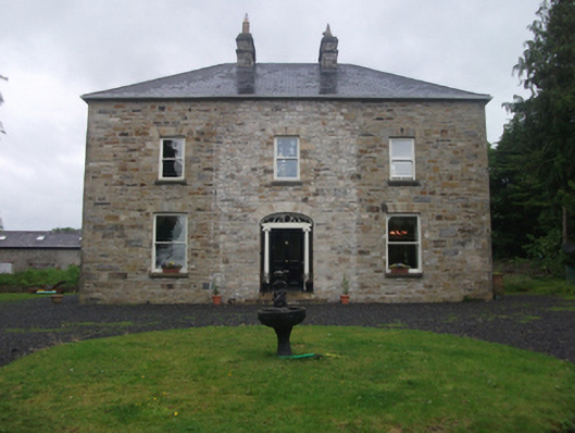 Moydristan Househouse · 957 yd
 CastleCastle, motte · 978 yd
 Gull IslandIslet · 1240 yd
 Crane IslandIslet · 1366 yd
 Carrick RockWood · 1.0 mi
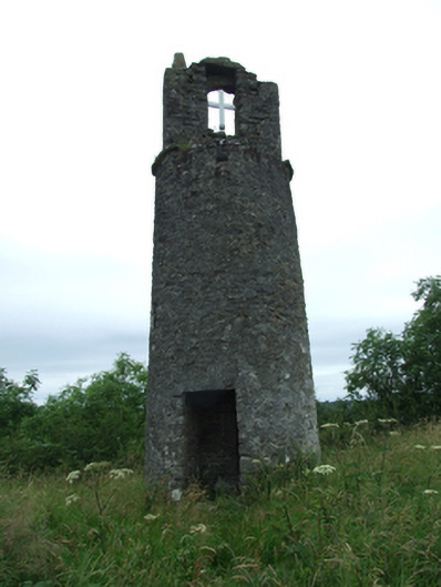 Maguire's Towerbell tower/stand · 1.1 mi
 Moynagh Upper ForestForest · 1.2 mi
 CarrickMountain / peak · 1.7 mi
 CarrickabaneMountain / peak · 1.7 mi
 R. C. ChapelChurch · 1.1 mi