What is recorded here
Associated with a nunnery (GA101-023----) and named ‘Tomb’ on the 1838 edition of the OS 6-inch map, and ‘Tomb (Site of)’ on the 1945-6 revision. Described by Crawford (1913, 153 (d)) as a long tapering slab (L c. 1.67m; Wth c. 0.37-0.52m) bearing a four-line cross with an ‘expanded centre, foliated extremities, and stepped base.’ An inscription running in two lines on each side of the slab was undecipherable. The graveslab has been removed from its original location and is now inside the doorway of Clonfert Cathedral (GA101-017001-). See GA101-017010- for present location.
Compiled by: Olive Alcock
Date of upload: 31 January 2023
Crawford, H.S. 1913 A descriptive list of early cross-slabs and pillars. (cont.) Journal of the Royal Society of Antiquaries of Ireland 43, 151-69, 261-5, 326-34.
O'Flanagan, Rev. M. (Compiler) 1927 Letters containing information relative to the antiquities of the county of Galway collected during the progress of the Ordnance Survey in 1839. Typescript in 3 vols. Bray.
A portal dolmen; likely dating to the Early Bronze Age. Its association with a medieval nunnery suggests possible later ritual or commemorative reuse.
This remains an important historical record, but the official description says the monument is no longer visible or has been destroyed. The monument record does not grant public access. Check the route and ask the landowner before entering private land.
- What survives
- No visible remains or recorded as destroyed
Places near here
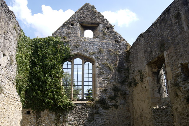 Site of NunneryReligious house, Augustinian nuns · 15 yd
 Horse-chestnutHorse-chestnut · 198 yd
 Ritual siteRitual site, holy tree/bush · 213 yd
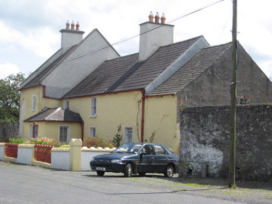 Abbey Viewhouse · 239 yd
 European YewEuropean Yew · 274 yd
 Clonfert CathedralHeritage attraction · 279 yd
 Saint Brendan's Cathedralcathedral · 279 yd
 Costello's IslandIsland · 1.7 mi
 Sugarloaf HillMountain / peak · 2.7 mi
 Shannonbridge - Nearby AttractionsVisitor information · 2.8 mi
 BarracksCastle, unclassified · 2.9 mi
 Esker IslandIsland · 3.1 mi