What is recorded here
On raised ground on summit of hill in undulating pasture. The church (TS076-016002-) is roughly centrally placed within the graveyard. E of the church, within the graveyard (TS076-016004-) there is a 16th/17th-century graveslab (dims. L 2.04m; Wth 0.94m) which was reused and inscribed in the 19th century to John Moclair, who died in 1811, and his wife Maria who died in 1830. The original Black letter inscription is visible in the margin along the top and base of the graveslab (Wth 0.15) with otherwise plain margin (Wth 0.12m) on the sides. It is decorated with a seven-arm floriated cross and the cross shaft rests on a stylised calvary mount which is cracked and broken. There is a triple barred knop at the top and base of the shaft. The graveslab is lying horizontally on top of and cemented onto a stone vault (H above concrete 4.5cm).
Compiled by: Jean Farrelly
Date of revised upload: 22 September 2014
The monument record does not grant public access. Check the route and ask the landowner before entering private land.
- What survives
- Recorded monument
Places near here
 Ballyclerahan Church (in ruins)Church · 11 yd
 Settlement desertedSettlement deserted, medieval · 56 yd
 Old BallyclerihanArchaeological place · 274 yd
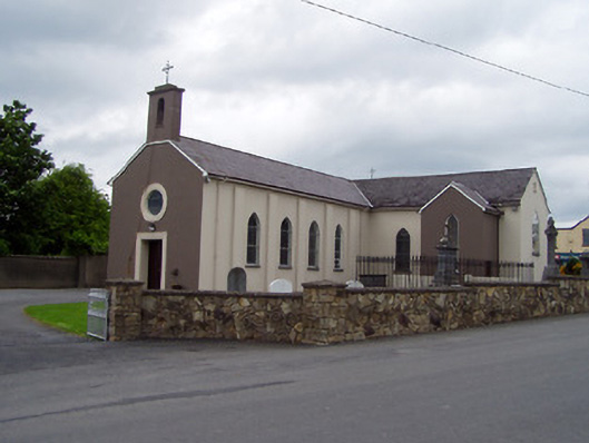 Saint Michael's Catholic Churchchurch/chapel · 1625 yd
 CastleCastle, unclassified · 1.3 mi
 Pedunculate OakPedunculate Oak · 1.3 mi
 BatteryBawn · 1.4 mi
 European YewEuropean Yew · 4.9 mi
 Grubb's IslandIslet · 5.3 mi
 Francis HopkinsMemorial · 5.3 mi
 Merchant's HouseVisitor information · 5.3 mi
 John HackettMemorial · 5.3 mi