
What is recorded here
According to the Civil Survey (1654-6) in 1640 the proprietor of 'sd Towne and lands of' Ballyclerahan was 'Paule Boyton..gent Irish Papist' and 'Upon the sd lands stands a little castle and some cabblins. In the sd Towne is held a fayre once a yeare & that on the 28th day of September' (Simington 1931, vol. 1, 313). According to Smyth (1991, 164) 'Ballyclerihan had also its patrons in the form of the Boyton family. It was likewise the centre of a major estate, had all the classic manorial village functions, and in addition the privilege of one fair a year. In 1659 its adult population total of 129 suggests a population of c. 325. The absence of hearth money record details leaves a gap in the evidence of 1667. Its deserted street pattern, near the old parish centre, still survives a mile west of the modern chapel-village of the same name'. Associated with this settlement are a church (TS076-016002-) and castle (TS076-016001-). The earthworks are clearly visible on aerial photographs in the field immediately N of the church with burgage plots extending into the field to the E (CUCAP APG 44, 46, 48; Bing imagery: http://binged.it/1rh3Xim). The parallel earthworks represent at least five burgage plots running roughly E-W from the centre of the former village. According to local information the earthworks in the field to the NE were levelled c. 1980. The earthworks in the field N of the church are well preserved.
Compiled by: Jean Farrelly
Date of revised upload: 22 September 2014
The monument record does not grant public access. Check the route and ask the landowner before entering private land.
- What survives
- Recorded monument
Places near here
 Ballyclerahan Church (in ruins)Church · 52 yd
 Old BallyclerihanArchaeological place · 241 yd
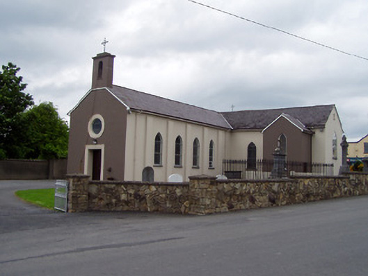 Saint Michael's Catholic Churchchurch/chapel · 1664 yd
 RathaniskeyEnclosure · 1.2 mi
 CastleCastle, unclassified · 1.3 mi
 Pedunculate OakPedunculate Oak · 1.3 mi
 BatteryBawn · 1.3 mi
 European YewEuropean Yew · 4.9 mi
 Grubb's IslandIslet · 5.3 mi
 Francis HopkinsMemorial · 5.3 mi
 Merchant's HouseVisitor information · 5.3 mi
 John HackettMemorial · 5.3 mi
Other information
Photo: Credit not shown in the picture search · Rights wording not checked; contact us if this picture should be removed