What is recorded here
The Civil survey (1654-6) mentions Finglas Bridge on the site of the present Tolka Bridge (Simington 1945, 141-2). It is marked on Rocque's map of County Dublin (1760) and spanned the Tolka river immediately N of Glasnevin cemetery.
Compiled by: Geraldine Stout
Date of upload: 27 September 2011
The monument record does not grant public access. Check the route and ask the landowner before entering private land.
- What survives
- Recorded monument
Places near here
 Ardstraw Househouse · 102 yd
 MillMill, unclassified · 208 yd
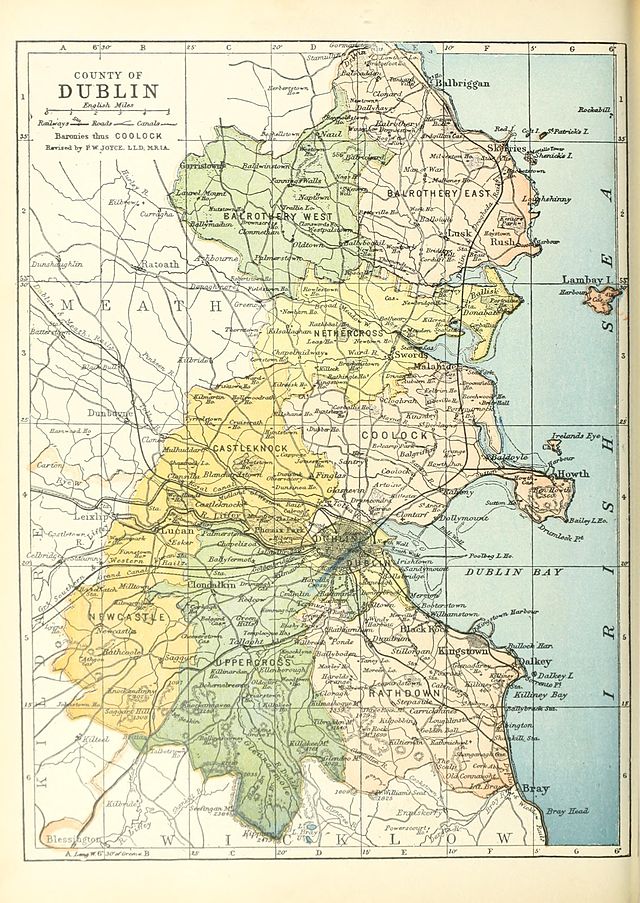 UHVisitor information · 627 yd
 SHVisitor information · 637 yd
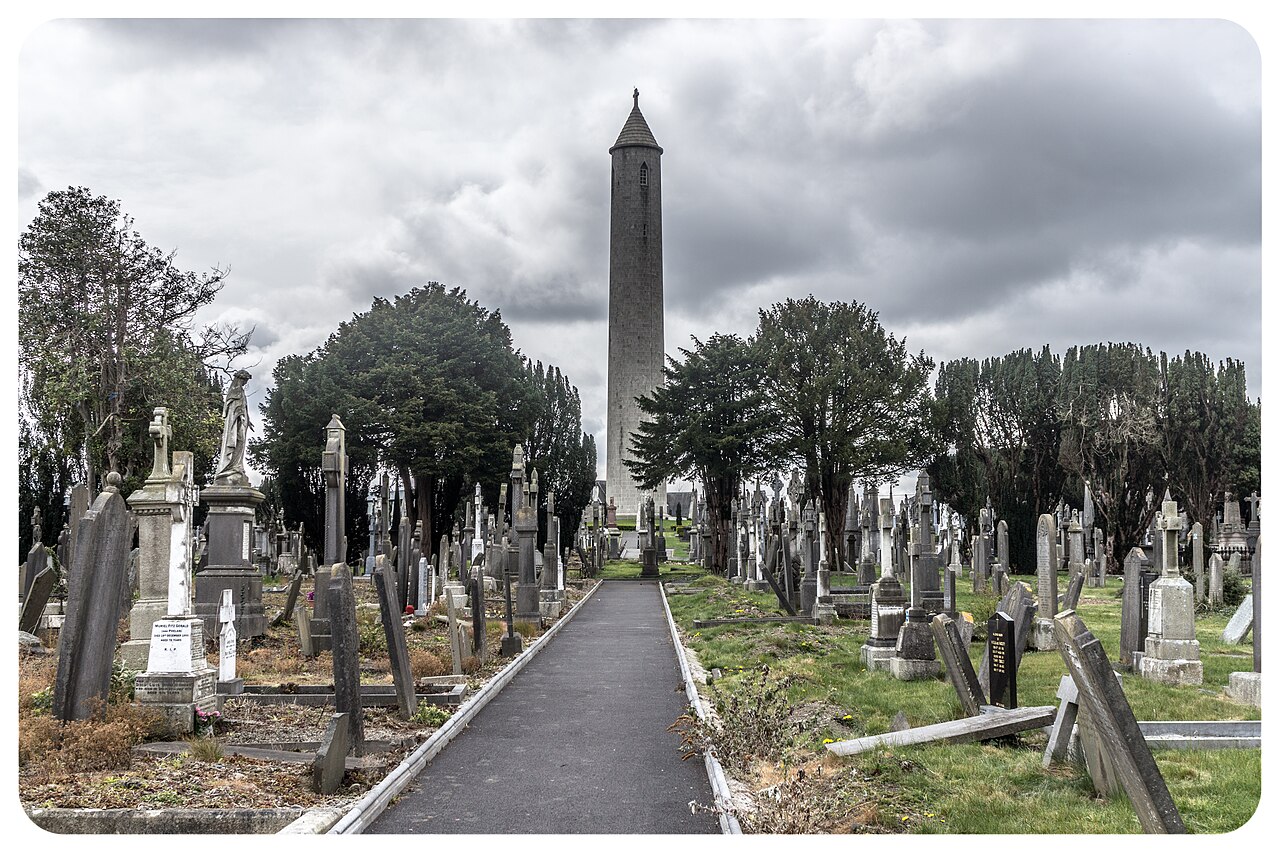 Glasnevin CemeteryHistoric cemetery · 735 yd
 Enclosure in Unknown TownlandEnclosure · 815 yd
 YewWood · 886 yd
 BaldcypressBaldcypress · 937 yd
 The O'Connell TowerHeritage attraction · 967 yd
 Republican plotMemorial · 998 yd
 William Rowan Hamilton PlaqueMemorial · 1041 yd
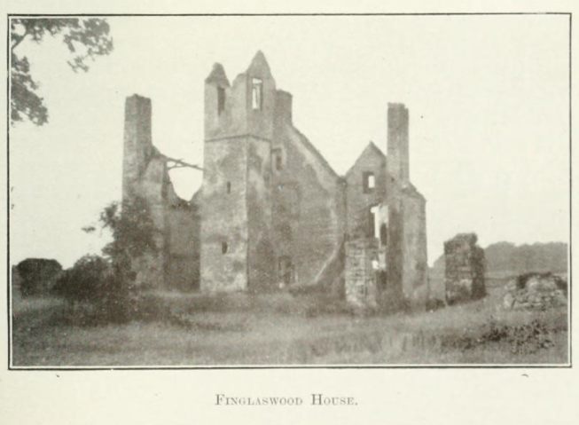 Finglaswood HouseCastle, tower house · 1159 yd