
What is recorded here
From the National Monuments Service (Archaeological Survey of Ireland) record RO026-037002
Places near here
Photo credits
- Maker not stated on source page, irishheritagenews.ie
- Maker not stated on source page, www.roscommonherald.ie
- National Inventory of Architectural Heritage
- Maker not stated on source page, commons.wikimedia.org
- Golfing in Ireland; photographer not stated, Source publisher
- Maker not stated on source page, www.thejournal.ie
- Darren J. Prior / Wikimedia Commons, commons.wikimedia.org
 Fairy fort / earthen ringfort in ArmFairy fort / earthen ringfort · 587 yd
Explorer Tom Fairy fort / earthen ringfort in Arm would tell its younger self to stop worrying about the grass so much. It’s…
 Kilkeevin ChurchChurch · 942 yd
Explorer Tom Kilkeevin Church’s first owner had a brilliant escape plan involving a boat that never quite made it to the river. The…
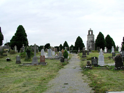 Saint Joseph's Catholic ChurchGraveyard/cemetery · 1146 yd
Explorer Tom Saint Joseph's Catholic Church graveyard is showing off its family tree, which is mostly made up of very fancy stones…
 St Joseph's CemeteryGraveyard · 1150 yd
Explorer Tom St Joseph's Cemetery in County Roscommon claims Vikings got lost looking for it because they were too busy drinking.…
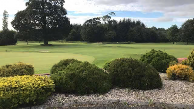 Castlerea Golf ClubGolf course · 1190 yd
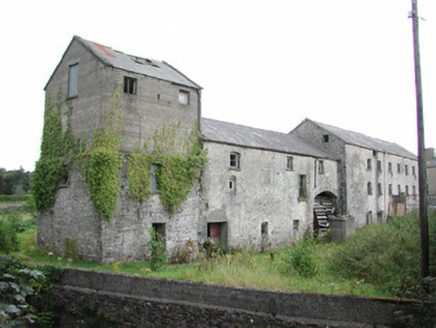 The Old MillMill (water) · 1380 yd
Explorer Tom The Old Mill in Castlereagh would write its dating profile as 'intact wheel, good conversation, slightly damp.' The…
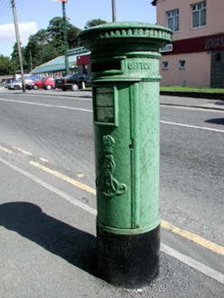 post box1410 yd
Explorer Tom The post box in Castlereagh claims to be older than the village itself, which is a bold statement for a piece of…
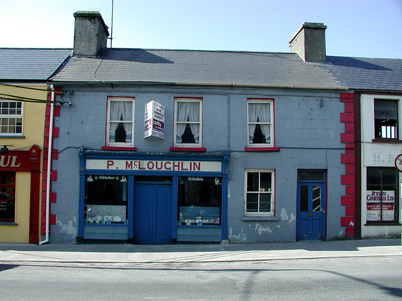 P. McLoughlinHouse · 1414 yd
Explorer Tom P. McLoughlin in Castlereagh is part of a terrace that thinks it’s a giant because the carved brackets make it look so…
 Historic buildingOfficially recorded historic building · 1508 yd
Explorer Tom Historic building in Castlereagh has a superstition that if you rub the water pump, your next bet will win, but nobody…
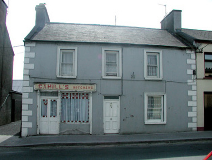 Cahill'sHouse · 1509 yd
Explorer Tom Cahill’s in Castlereagh is way more substantial than its neighbors, with these amazing timber sash windows and a…
 Fairy fort / earthen ringfort in CloontraskFairy fort / earthen ringfort · 1520 yd
Explorer Tom Fairy fort / earthen ringfort in Cloontrask is secretly proud of one very specific potato that grew on its edge. It’s…
 O'Rourke Park, St. Kevin's GAA, CastlereaGAA ground · 1.1 mi
More archaeology and monuments in County Roscommon · All of County Roscommon

What do you know about this place?Tap to add a comment or ask a question