What is recorded here
Located in the bottom of a N-S valley with a stream c. 20m to the W and c. 100m N of the junction with a larger E-W stream. Marked similarly as 'Toberquan' on the 1840 and 1925 eds of the OS 6-inch map, it is a natural spring, now completely overgrown and with no evidence of or record of veneration. Rathmoylan church (WA027-041001-) is c. 270m to the SE.
Compiled by: Michael Moore
Date of upload/revision: 10 June 2011
Toberquan in Ballymacaw is traditionally associated with Saint Quan, a 7th-century Irish saint known for his healing wells. The well's name and location suggest it was once a site of pilgrimage and ritual, likely used for curing ailments, particularly skin diseases, in accordance with early Christian and pre-Christian healing traditions.
The monument record does not grant public access. Check the route and ask the landowner before entering private land.
- What survives
- Recorded monument
Places near here
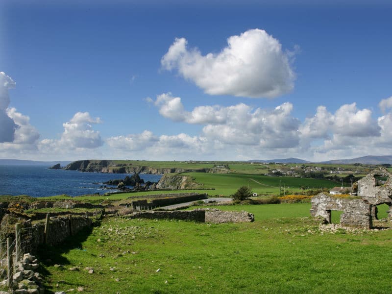 South East Coastal DriveVisitor information · 178 yd
 Field system in RathmoylanField system · 249 yd
 Church in ruinsChurch · 310 yd
 IndicatedFairy fort / earthen ringfort · 452 yd
 Rathmoylan CoveBeach / strand · 834 yd
 Rathmoylan-Ballymacaw Cliff WalkWalking route · 991 yd
 Portally-Rathmoylan Cliff WalkWalking route · 1206 yd
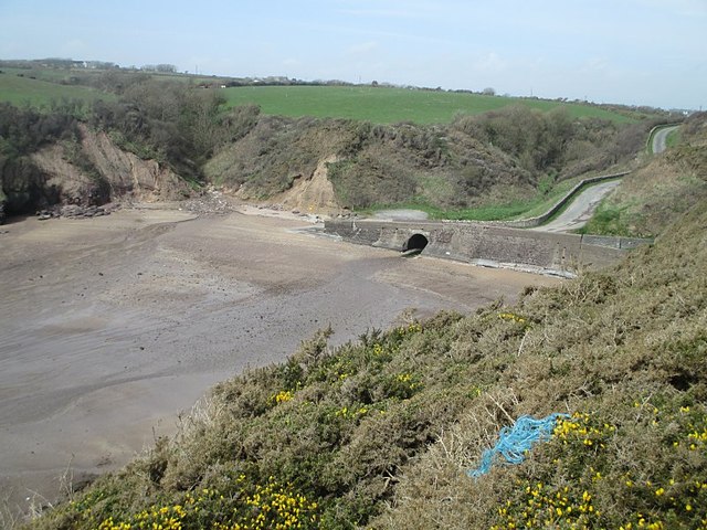 Ballymacaw CoveBeach / strand · 1409 yd
 Main ForestWood · 1.8 mi
 Corbally Moreoutbuilding · 1.8 mi
 Lower ForestWood · 1.9 mi
 Castle in ruinsCastle, Anglo-Norman masonry castle · 2.0 mi