
What is recorded here
Described as Toberpatrick on the 1839 and 1940 eds of the OS 6-inch map, and situated in an overgrown hollow on the N bank of a small NW-SE stream c. 200m W of where it emerges on the strand. There is no visible evidence of this feature.
Compiled by: Michael Moore
Date of upload: 15 March, 2012
Linked to Saint Patrick, the well is traditionally associated with healing and protection, reflecting the widespread veneration of the saint in early Christian Ireland. Such wells often became sites of pilgrimage and local folklore, with customs including the collection of water for sick or ailing family members.
The monument record does not grant public access. Check the route and ask the landowner before entering private land.
- What survives
- Recorded monument
Places near here
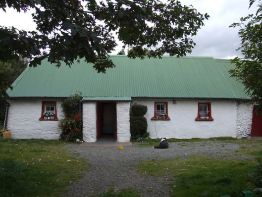 farm housefarm house · 1244 yd
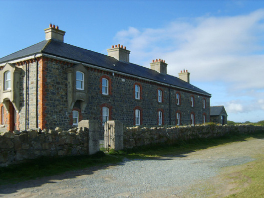 Kilmichael Point Coastguard Stationcoastguard station · 1.0 mi
 Kilgorman WellArchaeological place · 1.3 mi
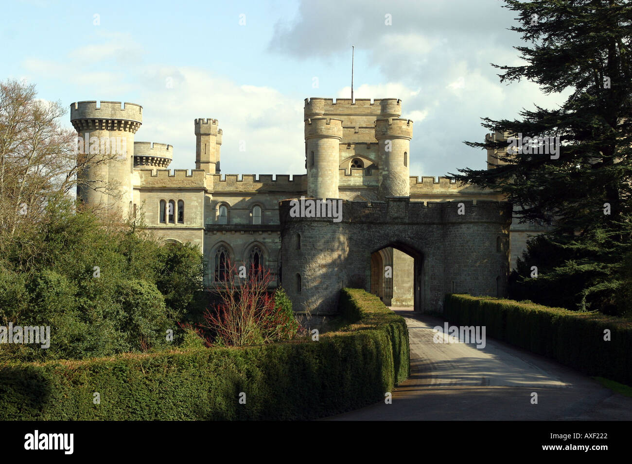 MoatArchaeological place · 1.8 mi
 Clogga StrandBeach / strand · 2.9 mi
 Tara HillMountain / peak · 3.0 mi
 Arklow RockMountain / peak · 3.1 mi
 Nuns BeachBeach / strand · 3.3 mi
 CastleCastle, unclassified · 4.0 mi
 Curragh WoodWood · 4.6 mi
 Battle of Arklowbattle · 4.8 mi
 Ballyfad WoodWood · 4.9 mi
Other information
Photo: Credit not shown in the picture search · Rights wording not checked; contact us if this picture should be removed