What is recorded here
A circular enclosure visible as a cropmark on an aerial photograph (taken by Mr. Michael Moore on 16 July 2006).
Compiled by: Claire Breen
Date of upload: 27 September 2013
The monument record does not grant public access. Check the route and ask the landowner before entering private land.
- What survives
- Recorded monument
Places near here
 Enclosure in Coolroe GreatEnclosure · 809 yd
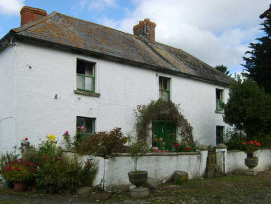 farm housefarm house · 1242 yd
 Churh (Site of)Church · 1714 yd
 Clogga StrandBeach / strand · 1.2 mi
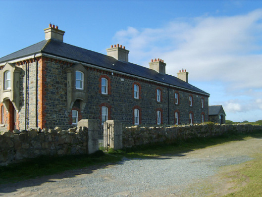 Kilmichael Point Coastguard Stationcoastguard station · 1.2 mi
 Arklow RockMountain / peak · 1.3 mi
 Nuns BeachBeach / strand · 1.6 mi
 Battle of Arklowbattle · 3.0 mi
 CastleCastle, unclassified · 3.2 mi
 Castle (in ruin)Castle, Anglo-Norman masonry castle · 3.3 mi
 Shirsheen WoodForest · 4.1 mi
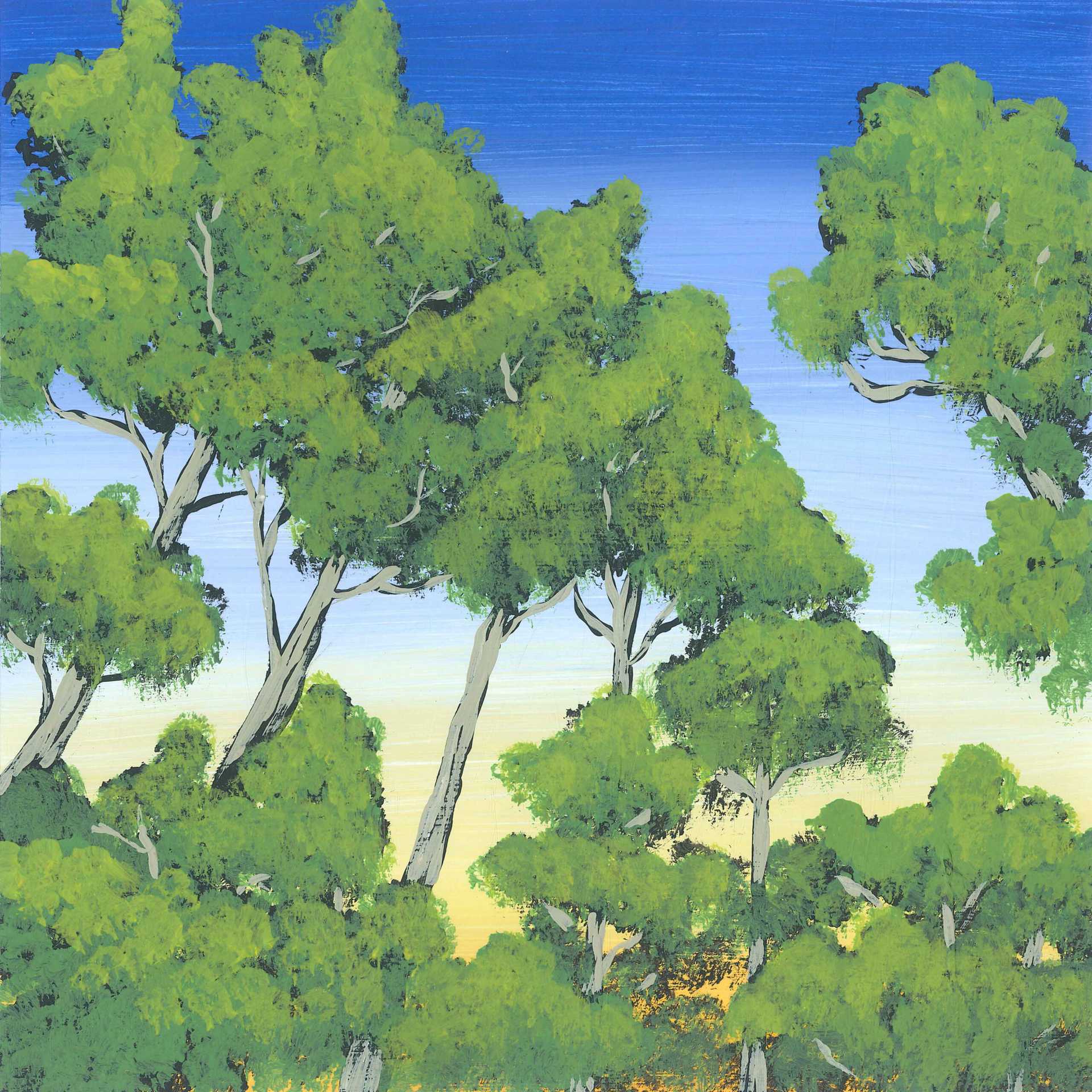 Ballyfad WoodWood · 4.3 mi