
What is recorded here
Situated at the base of a steep NE-facing slope. There is no trace of the church apart from a rectangular platform (dims. c. 20m NW-SE; 15m NE-SW) within a marshy hollow, said locally to be the site of the church. The graveyard lies to the SW and is defined by the road at the SE and by a field boundary at the NW. It is known locally as a graveyard, and it is said that shipwrecked sailors were buried here. Noted in the OS letters (O'Flanagan 1928, 137) as a children's burial ground, which suggests either that the graveyard was not consecrated, or was used for unbaptised babies and victims of drowning after it had fallen out of general use. St Iver's holy well lies to the N (WI045-004----).
The above description is derived from the published 'Archaeological Inventory of County Wicklow' (Dublin: Stationery Office, 1997). In certain instances the entries have been revised and updated in the light of recent research.
Date of upload/revision: 17 December 2008
This remains an important historical record, but the official description says the monument is no longer visible or has been destroyed. The monument record does not grant public access. Check the route and ask the landowner before entering private land.
- What survives
- No visible remains or recorded as destroyed
Places near here
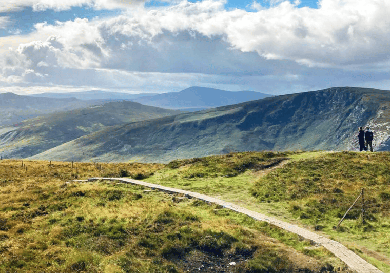 St. Ivers WellHoly well · 128 yd
 Arklow RockMountain / peak · 811 yd
 Clogga StrandBeach / strand · 931 yd
 site of EntrenchmentFortification · 1426 yd
 Nuns BeachBeach / strand · 1454 yd
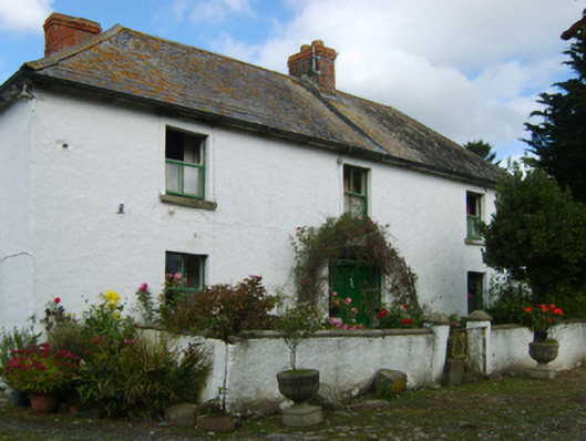 farm housefarm house · 1.6 mi
 Arklow Railway Stationrailway station · 2.0 mi
 Battle of Arklowbattle · 2.0 mi
 Castle (in ruin)Castle, Anglo-Norman masonry castle · 2.3 mi
 CastleCastle, unclassified · 3.2 mi
 Shirsheen WoodForest · 3.7 mi
 TuliptreeTuliptree · 3.7 mi
Other information
Photo: Credit not shown in the picture search · Rights wording not checked; contact us if this picture should be removed