
What is recorded here
Marked 'Entrenchment (site of)' on the 1839 and 1940 eds of the OS 6-inch map, and depicted as a small rectangular field or paddock (dims. c. 35m NW-SE; c. 25m NE-SW) on the earlier map, which may represent the quarry that destoyed what were thought to be earthwors connected with the Cromwellian era (Lewis 1837, vol. 2, 15) and 1798 when it is thought to have been occupied by British solders (OSFM). No antiquity is visible at ground level.
The above description is derived from the published 'Archaeological Inventory of County Wexford' (Dublin: Stationery Office, 1996). In certain instances the entries have been revised and updated in the light of recent research.
Compiled by: Michael Moore
Date of upload/revision: 20 November, 2012
The monument record does not grant public access. Check the route and ask the landowner before entering private land.
- What survives
- Recorded monument
Places near here
 IndicatedFairy fort / ringfort · 700 yd
 Churh (Site of)Church · 1427 yd
 Arklow RockMountain / peak · 1.2 mi
 Clogga StrandBeach / strand · 1.3 mi
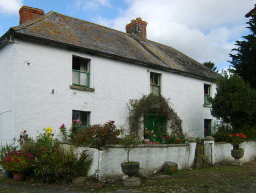 farm housefarm house · 1.5 mi
 Plattinstown Househouse · 1.5 mi
 Nuns BeachBeach / strand · 1.6 mi
 Battle of Arklowbattle · 2.3 mi
 CastleCastle, unclassified · 2.4 mi
 Castle (in ruin)Castle, Anglo-Norman masonry castle · 2.6 mi
 Shirsheen WoodForest · 3.0 mi
 Ballyfad WoodWood · 3.4 mi
Other information
Photo: Credit not shown in the picture search · Rights wording not checked; contact us if this picture should be removed