What is recorded here
Located at the tip of a short and low W-E spur (L c. 100m E-W) and at the crest of its N and E-facing slopes. The cropmark of a circular area (diam. c. 45m) defined by a single fosse is only visible on iMAPs (2022). The cropmark of a WNW-ESE field bank and county boundary with Wicklow that has a ditch on either side is also visible in the same image overlying the enclosure towards the perimeter at N. It was first reported by Jean Charles Caillére. See the attached enhanced view from iMAPs (2022)
Compiled by: Michael Moore
Date of upload: 6 June 2023
Located at the tip of a short and low W-E spur (L c. 100m E-W) and at the crest of its N and E-facing slopes. The cropmark of a circular area (diam. c. 45m) defined by a single fosse is only visible on iMAPs (2022). The cropmark of a WNW-ESE field bank and county boundary with Wicklow that has a ditch on either side is also visible in the same image overlying the enclosure towards the perimeter at N. It was first…
From the National Monuments Service (Archaeological Survey of Ireland) record WX003-053
The monument record does not grant public access. Check the route and ask the landowner before entering private land.
- What survives
- Recorded monument
Places near here
Photo credits
- National Inventory of Architectural Heritage
- Sarah777, Wikimedia Commons · CC BY-SA 2.0
- 瑞丽江的河水, Wikimedia Commons · CC BY-SA 4.0
- en:User:Poccil (SVG file), Wikimedia Commons · Public domain
- Malone0, Wikimedia Commons · CC BY-SA 4.0
- Sarah777 at English Wikipedia, Wikimedia Commons · Public domain
- Jean-Pol GRANDMONT, Wikimedia Commons · CC BY 3.0
- Sitomon, Wikimedia Commons · CC BY-SA 2.0
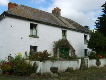 farm house960 ydsite of RathFairy fort / ringfort · 1407 ydClogga StrandBeach / strand · 1.5 mi
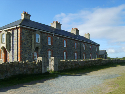 Kilmichael Point Coastguard StationCoastguard station · 1.5 mi
 Arklow RockMountain / peak · 1.5 mi
 The CoveBeach / strand · 2.3 miCastleCastle, unclassified · 2.8 mi
 Battle of ArklowBattle · 3.0 mi
 Grave Yard (Disused)Graveyard · 3.3 mi
 Tara HillMountain / peak · 4.0 mi
 Tuliptree4.6 mi
 European Yew4.6 mi
More archaeology and monuments in County Wexford · All of County Wexford
What do you know about this place?