
What is recorded here
Marked faintly as a circular enclosure (diam. c. 40m) and described as 'site of Rath' on the 1839 ed. of the OS 6-inch map. It is situated on a level landscape, but there are no visible remains at ground level in pasture. Traces of it can be seen as a cropmark on an OSI aerial photograph series (1995).
The above description is derived from the published 'Archaeological Inventory of County Wexford' (Dublin: Stationery Office, 1996). In certain instances the entries have been revised and updated in the light of recent research.
Compiled by: Michael Moore
Date of upload/revision: 14 February 2012
This remains an important historical record, but the official description says the monument is no longer visible or has been destroyed. The monument record does not grant public access. Check the route and ask the landowner before entering private land.
- What survives
- No visible remains or recorded as destroyed
Places near here
 Fulacht fia in BallyellinFulacht fia · 1380 yd
 Enclosure in Coolroe GreatEnclosure · 1407 yd
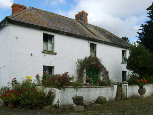 farm housefarm house · 1.1 mi
 bridgebridge · 1.4 mi
 Arklow RockMountain / peak · 2.0 mi
 CastleCastle, unclassified · 2.0 mi
 Clogga StrandBeach / strand · 2.0 mi
 Nuns BeachBeach / strand · 2.3 mi
 Shirsheen WoodForest · 3.0 mi
 Ballyfad WoodWood · 3.1 mi
 Battle of Arklowbattle · 3.1 mi
 Castle (in ruin)Castle, Anglo-Norman masonry castle · 3.5 mi
Other information
Photo: Credit not shown in the picture search · Rights wording not checked; contact us if this picture should be removed