What is recorded here
On steep S-facing slope, in deep narrow stream channel. According to local information water from well ran into stream to E. Heavily overgrown; unable to locate.
The above description is derived from the published 'Archaeological Inventory of County Cork. Volume 1: West Cork' (Dublin: Stationery Office, 1992). In certain instances the entries have been revised and updated in the light of recent research.
Date of upload/revision: 14 January 2009
Linked to Saint Nasool, the well was traditionally visited for cures related to skin ailments and general health. Local folklore suggests that the water, once accessible, had healing properties and was used in seasonal rituals, though the site is now largely lost to overgrowth.
The monument record does not grant public access. Check the route and ask the landowner before entering private land.
- What survives
- Recorded monument
Places near here
 Man-made underground passage in Knockroe (carbery West (w.d) By., Kilcrohane, Par.)Man-made underground passage · 540 yd
 Sheep's Head - Peakeen Ridge Linear WalkWalking route · 864 yd
 Burial GdBurial ground · 1150 yd
 Caher MountainMountain / peak · 1246 yd
 Peakeen Ridge Loop WalkWalking route · 1452 yd
 surgery/clinicsurgery/clinic · 1.1 mi
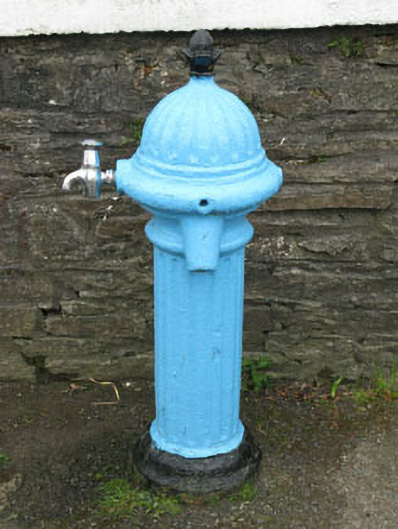 water pumpwater pump · 1.2 mi
 Nora DaltonMemorial · 1.4 mi
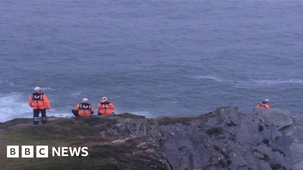 Drowning in Dunmanus BayMemorial · 1.5 mi
 Finn McCool's SeatViewpoint · 1.7 mi
 Stone RowHeritage attraction · 1.7 mi
 SeefinMountain / peak · 2.1 mi