
What is recorded here
Burial Gd is a circular burial ground in County Cork, Ireland, where grave markers and loose stones still mark the dead beneath pasture grass. The site measures about twenty metres across and keeps its shape inside a low stone-faced bank, while local people call it a keel. That simple name suggests the place has long served as a quiet boundary between the living field and the remembered dead.
In pasture. Circular area (20.8m N-S; 20m E-W) enclosed by field boundary NW->ENE; stone faced earthen bank (H 0.8m) ENE->NW. Grave markers and many loose stones in interior. Locally known as "keel".
The above description is derived from the published 'Archaeological Inventory of County Cork. Volume 1: West Cork' (Dublin: Stationery Office, 1992). In certain instances the entries have been revised and updated in the light of recent research.
Date of upload/revision: 14 January 2009
The monument record does not grant public access. Check the route and ask the landowner before entering private land.
- What survives
- Recorded monument
Places near here
 Man-made underground passage in Caher (carbery W. (w.d.) By., Kilcrohane Par.)Man-made underground passage · 383 yd
 Burial Gd (Disused)Burial ground · 854 yd
 Sheep's Head - Caher LoopWalking route · 914 yd
 Dooneen Island LoopWalking route · 989 yd
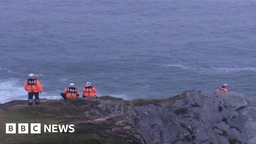 Drowning in Dunmanus BayMemorial · 1518 yd
 Caher MountainMountain / peak · 1599 yd
 surgery/clinicsurgery/clinic · 1.8 mi
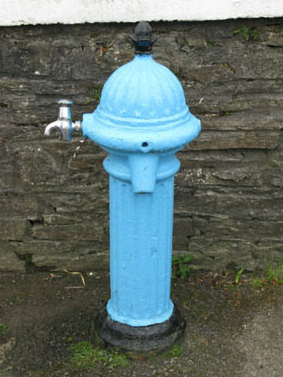 water pumpwater pump · 1.8 mi
 Nora DaltonMemorial · 2.0 mi
 SeefinViewpoint · 2.2 mi
 Finn McCool's SeatViewpoint · 2.3 mi
 Stone RowHeritage attraction · 2.3 mi
Other information
Photo: Credit not shown in the picture search · Rights wording not checked; contact us if this picture should be removed