
What is recorded here
From the National Monuments Service (Archaeological Survey of Ireland) record KD040-033002
Places near here
Photo credits
- Maker not stated on source page, hu.pinterest.com
- Maker not stated on source page, www.boboandchichi.com
- Maker not stated on source page, www.irishexaminer.com
- Maker not stated on source page, www.dreamstime.com
- National Inventory of Architectural Heritage
- Maker not stated on source page, www.flickr.com
- Andrewmc, Wikimedia Commons · CC0
- Andreas F. Borchert, Wikimedia Commons · CC BY-SA 4.0
- Maker not stated on source page, cz.pinterest.com
- Willow, Wikimedia Commons · CC BY 2.5
- dougf, Geograph · CC BY-SA 2.0
 Mapped cemeteryCemetery · 633 yd
Explorer Tom This Mapped Cemetery holds a fake world record for the most crooked gravestones in a single row. We measured it with a…
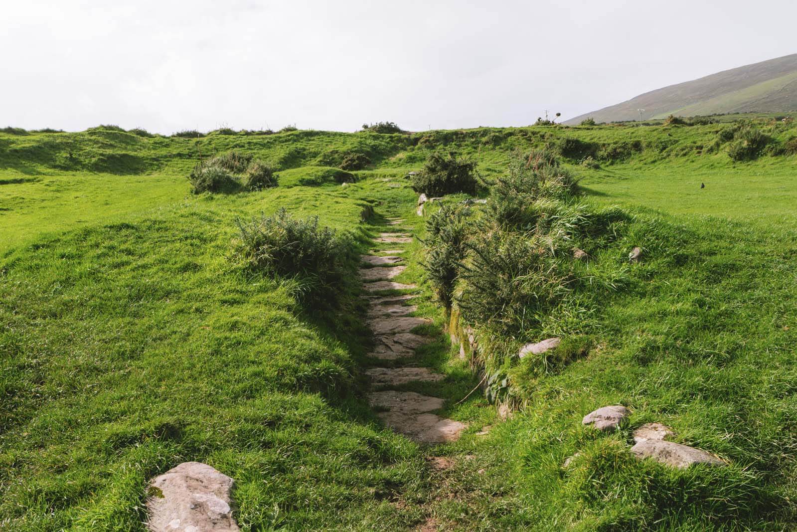 Fairy fort / earthen ringfort in KnocknacreeFairy fort / earthen ringfort · 735 yd
Explorer Tom Fairy fort / earthen ringfort in Knocknacree is heavily overgrown and can't even find its own entrance. It’s planning…
 Fairy fort / earthen ringfort in Coltstown (graney Ed)Fairy fort / earthen ringfort · 1658 yd
Explorer Tom Fairy fort / earthen ringfort in Coltstown is where the fairies had a massive dispute over parking rights. Forty metres…
 Coltstown CemeteryCemetery · 1.4 mi
Explorer Tom Coltstown Cemetery is incredibly proud of its one perfect, unbroken hedge row that it has maintained for decades…
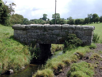 foot bridge1.8 mi
Explorer Tom Foot bridge in Graney East was briefly run by a fox who demanded tolls in squeaks. It’s still proud of its crisp stone…
 Ballinakelly WoodForest · 1.8 mi
Explorer Tom Ballinakelly Wood is refusing to fall down because it thinks gravity is just a suggestion for trees. It stands there…
Fairy fort / earthen ringfort in Davidstown (pilsworth)Fairy fort / earthen ringfort · 1.8 miExplorer Tom Fairy fort / earthen ringfort in Davidstown started because two lads bet on who could dig deeper. It’s overgrown with…
 Doyle's BridgeBridge · 2.0 mi
Explorer Tom Doyle's Bridge is suspicious of the postman because he dropped a letter on its nose last week. It’s arching its back to…
 Abbey (in Ruins)Religious house, Franciscan friars · 2.1 mi
Explorer Tom This Abbey would write 'seeking serious stone partner' on its dating profile. The Franciscans left after a few…
 CastleCastle, unclassified · 2.3 mi
Explorer Tom Castledermot’s missing castle thinks the road leading to it is a bit of a lazy shortcut, frankly speaking. It’s judging…
 European ash4.6 mi
Explorer Tom European ash in County Kildare was saved by a hero nobody remembers, probably because he forgot his name. The tree…
 Kilkea CastleCastle, tower house · 5.2 mi
Explorer Tom Kilkea Castle in Kilkea Demesne confused the mapmakers so badly they accidentally drew it as a giant shoe. The…
More archaeology and monuments in County Kildare · All of County Kildare

What do you know about this place?Tap to add a comment or ask a question