
What is recorded here
In pasture, at the base of a N-facing slope. The well utilised a natural spring emerging at the base of the slope. It has been converted into a county council reservoir and is enclosed by a rectangular concrete shed (11m E-W; 8.5m N-S). No structural remains of the holy well survive. In 1836 it was recorded that the…
Read the whole record
From the National Monuments Service (Archaeological Survey of Ireland) record SL044-047001
Places near here
Photo credits
- National Inventory of Architectural Heritage
- Maker not stated on source page, www.pinterest.com
- Maker not stated on source page, commons.wikimedia.org
- Maker not stated on source page, www.alamy.com
- Maker not stated on source page, www.tripadvisor.ca
- Maker not stated on source page, www.dreamstime.com
- Eamonn McMunn / Sligo GAA (credit visible on photograph), www.sligogaa.ie
- Maker not stated on source page, tr.pinterest.com
- Eastern Harps GAA Club; individual photographer not named, www.easternharps.com
- Maker not stated on source page, www.irishamerica.com
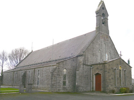 Saint Patrick's Catholic ChurchChurch/chapel · 1.4 mi
Explorer Tom Saint Patrick's Catholic Church in Rathmadder was built on a bargain where someone paid with a bag of potatoes and a…
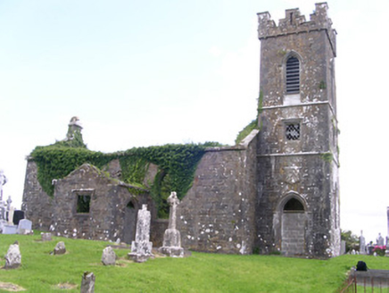 Gorteen Church (Kilfree)Church/chapel · 1.5 mi
Explorer Tom Gorteen Church in Gorteen nearly got famous when a bird landed on the tower in 1994. The ruinous walls and good masonry…
 Mapped graveyardGraveyard · 1.5 mi
Explorer Tom Mapped graveyard in County Sligo would tell the place that replaced it to 'grow up' and stop trying to be so modern and…
 Carrowntemple GraveyardCemetery · 1.5 mi
Explorer Tom Carrowntemple Graveyard smells like old rain, damp earth, and that specific scent of mystery that only places with a…
 Fairy fort / earthen ringfort in CalteraunFairy fort / earthen ringfort · 1.8 mi
Explorer Tom Fairy fort / earthen ringfort in Calteraun would write a furious letter to the council about its eroded southern bank…
 Holy well in CarrowntempleHoly well · 1.9 mi
Explorer Tom Holy well in Carrowntemple caused the whole parish to argue about where exactly it was located for over a century…
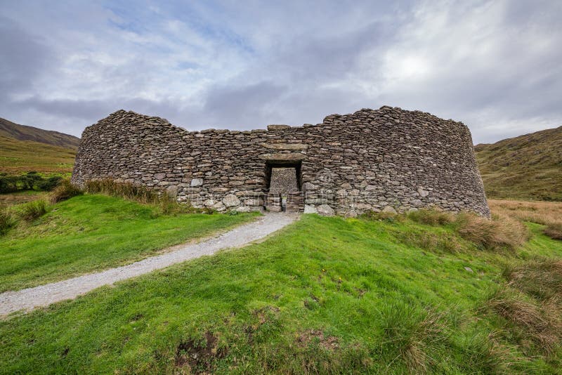 Fairy fort / stone ringfort in MweelroeFairy fort / stone ringfort · 3.9 mi
Explorer Tom Mweelroe’s tiny drumlin perched on top of a ridge claims to have survived a massive storm and bragged about it ever…
 Bunninadden Community Park, Bunninadden GAAGAA ground · 4.3 mi
 Knockbrack CemeteryCemetery · 5.5 mi
Explorer Tom Knockbrack Cemetery would survive a zombie attack simply because the zombies would get confused by the layout. It’s…
 Fairy fort / earthen ringfort in BinganaghFairy fort / earthen ringfort · 5.8 mi
Explorer Tom Fairy fort / earthen ringfort in Binganagh is stuck in a massive dispute with the fairies over where their parking…
 Fr. Kevin Brehony Park, Eastern HarpsGAA ground · 5.9 mi
 CastleCastle, unclassified · 17 mi
Explorer Tom Castle in Emlagh would tell its younger self to stop being so dramatic about crumbling. It’s just a pile of rocks…
More archaeology and monuments in County Sligo · All of County Sligo

What do you know about this place?Tap to add a comment or ask a question