
What is recorded here
In pasture, at the base of a N-facing slope and 9m ESE of a holy well (SL044-047001-). A roughly circular cairn (4m N-S; 3.6m E-W; H 1.4m) of stones and slabs with a slightly domed profile, partially obscured by sod and brambles. In places glimpses of coursed stonework are evident. Projecting slightly from the W side is a roughly coursed drystone facade (H 0.5m) of horizontally laid slabs with a flat top (0.5m E-W; 0.6m N-S). The cairn rises gently for c. 0.5m behind the top of the facade. Propped up on the flat top of the facade at W is a cross-slab (SL044-047003-). A large upright slab (H 0.65m; Wth 0.8m E-W; T c. 0.12m) is embedded in the ground at the base of the N side of the cairn. There is a small circular perforation (diam. 0.005m) close to the top edge on the E side of the slab. A cashel (SL044-048001-) is located at the top of the slope to S.
The above description is derived from the published 'Archaeological Inventory of County Sligo' compiled by Ursula Egan, Elizabeth Byrne, Mary Sleeman with Sheila Ronan and Connie Murphy (Dublin Stationery Office, 2005).
Attached image:
SL044-047002-_01.JPG
Date of upload: 18 January 2008
The monument record does not grant public access. Check the route and ask the landowner before entering private land.
- What survives
- Recorded monument
Places near here
 altarArchaeological place · 13 yd
 Enclosure in RathmadderEnclosure · 1.4 mi
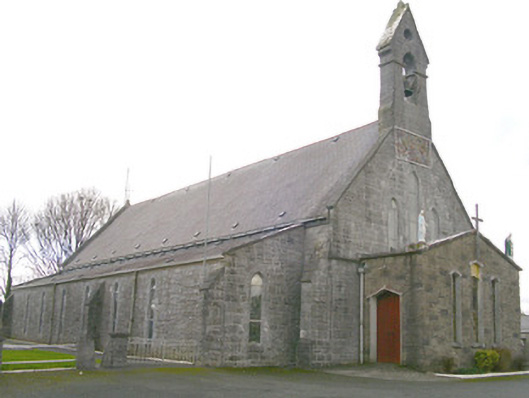 Saint Patrick's Catholic Churchchurch/chapel · 1.4 mi
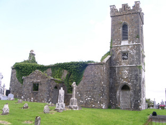 Gorteen Church (Kilfree)church/chapel · 1.5 mi
 Moygara Castle (in Ruins)Bawn · 2.7 mi
 Moygara CastleCastle · 2.7 mi
 Bockagh HillMountain / peak · 4.0 mi
 Crow IslandIslet · 4.1 mi
 Castle PointHeadland · 4.7 mi
 Inch IslandIslet · 4.8 mi
 Rose PointHeadland · 5.2 mi
 Curlew MountainsMountain / peak · 6.4 mi
Other information
Photo: Credit not shown in the picture search · Rights wording not checked; contact us if this picture should be removed