
What is recorded here
A natural crevice in a rock at the base of Mulnamin Hill with rough stone walls arid a slab roof. Marked Tobernameeloge on the maps the site is still visited.
The above description was derived from the 'Archaeological Survey of County Donegal. A description of the field antiquities of the County from the Mesolithic Period to the 17th century.' Compiled by: Brian Lacey with Eamon Cody, Claire Cotter, Judy Cuppage, Noel Dunne, Vincent Hurley, Celie O'Rahilly, Paul Walsh and Seán Ó Nualláin (Lifford: Donegal County Council, 1983). In certain instances the entries have been revised and updated.
Date of upload: 22 September 2008
Linked to Saint Nameeloge, the well is traditionally associated with cures for skin ailments and is visited by pilgrims seeking healing. The name and veneration suggest a local early Christian tradition, though historical records of the saint are scarce.
The monument record does not grant public access. Check the route and ask the landowner before entering private land.
- What survives
- Recorded monument
Places near here
 Wych ElmWych Elm · 125 yd
 Former Leitir Mhic an Bhaird Fairy FortFairy fort / ringfort · 1380 yd
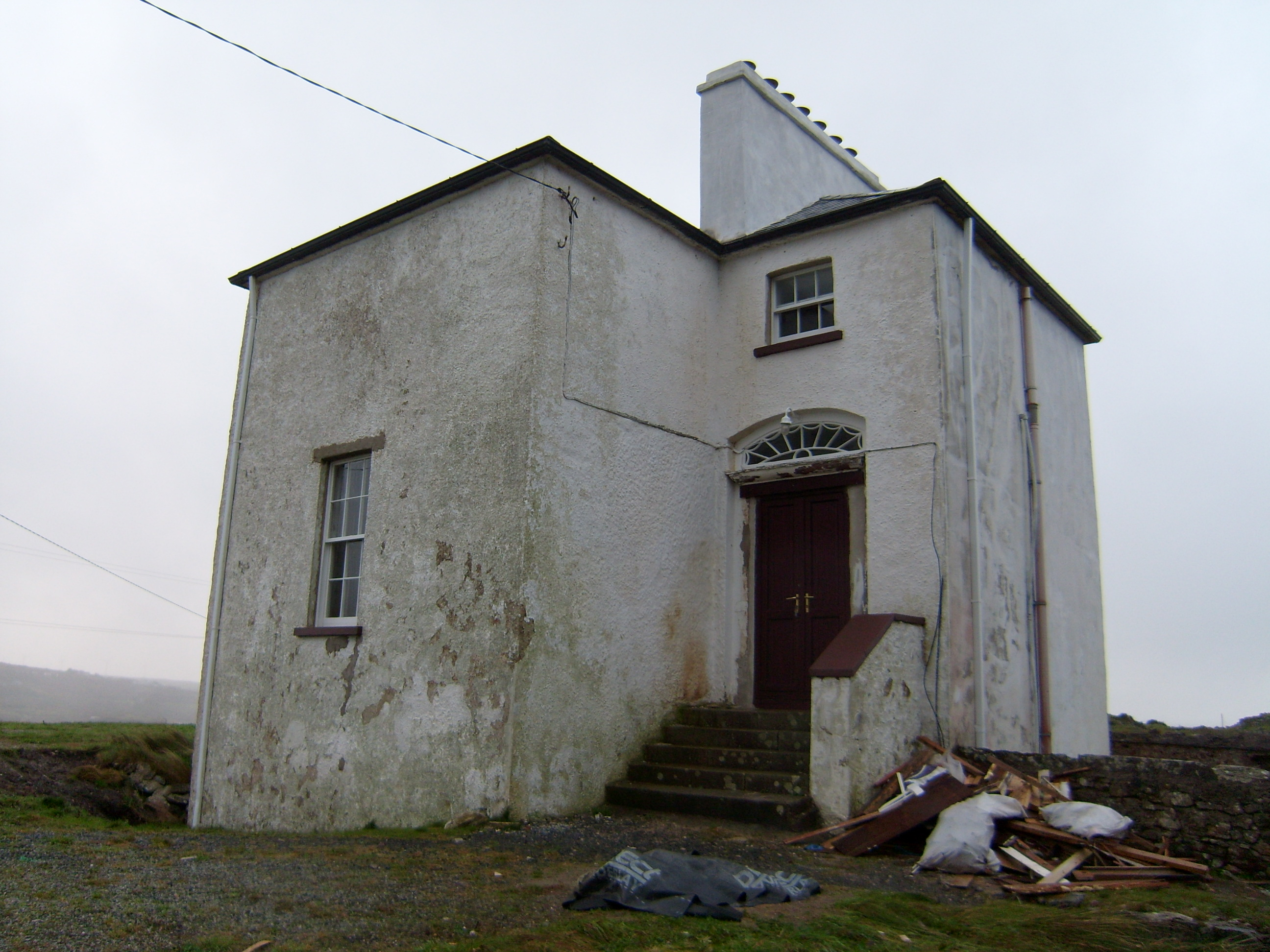 The Old Rectoryrectory/glebe/vicarage/curate's house · 1527 yd
 Former Cullion Fairy FortFairy fort / ringfort · 1531 yd
 Old Church in RuinsChurch · 1540 yd
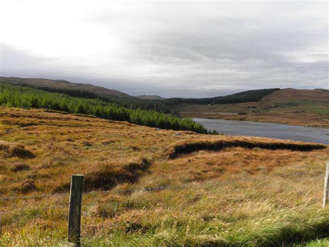 Derkmore Wood Nature ReserveNature reserve · 1.7 mi
 Bonny Glen Wood - Bonny Glen walkOfficial walking route · 2.8 mi
 St. Connell's Museum and Heritage CentreMuseum · 3.3 mi
 DooeyOfficial bathing water · 3.6 mi
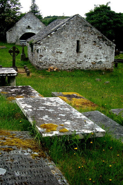 Inishkeel Graveyard near GlentiesGraveyard · 4.2 mi
 Drumlaghdrid HillMountain / peak · 4.5 mi
 Narin–Portnoo StrandOfficial bathing water · 4.7 mi
Other information
Photo: Credit not shown in the picture search · Rights wording not checked; contact us if this picture should be removed