
What is recorded here
A Chapel of Ease (DG065-014001-) to Inishkeel. Pococke (1752, 67) described it as 'an old church called Kilkenny'. Built of rubble, the surviving fragmentary ruins of this church, 9.6m by 4.6m internally, are undateable. The E and W gables are represented by grass-covered footings and only the central sections of the N and S walls 2.2m high remain; at the W end of the latter is the splayed ingoing of a window. The church stands in the middle of a rectangular modern graveyard (DG065-014003-). To the N and W of this graveyard is the outline of a curving enclosure (DG065-014002-). Most of a semicircle can be seen. No sign of the enclosure could be found to the E and S but the modern graveyard and church would have stood roughly at the centre of such a circle had this been originally complete. The enclosure is formed by a grassed-over wall c. 0.25m high and up to 1.4m wide. Sections of the wall-footing are visible. In places, the wall was built along the edge of a slope to the sea. There is a 3.5m gap in the wall to the W where the S side is definitely inturned for 7.3m. The site is located on fair pasture land on the S side of the Gweebarra river inlet.
The above description was derived from the 'Archaeological Survey of County Donegal. A description of the field antiquities of the County from the Mesolithic Period to the 17th century.' Compiled by: Brian Lacey with Eamon Cody, Claire Cotter, Judy Cuppage, Noel Dunne, Vincent Hurley, Celie O'Rahilly, Paul Walsh and Seán Ó Nualláin (Lifford: Donegal County Council, 1983). In certain instances the entries have been revised and updated.
Date of upload: 22 September 2008
The Old Church in Ruins, Kilkenny was built as a Chapel of Ease to Inishkeel and is mentioned by Pococke in 1752. Its construction of rubble and interior dimensions of 9.6m by 4.6m suggest a modest early medieval or later ecclesiastical structure, though its exact date remains undetermined.
The monument record does not grant public access. Check the route and ask the landowner before entering private land.
- What survives
- Recorded monument
Places near here
 Former Cullion Fairy FortFairy fort / ringfort · 1379 yd
 TobernameelogeHoly well · 1539 yd
 Wych ElmWych Elm · 1599 yd
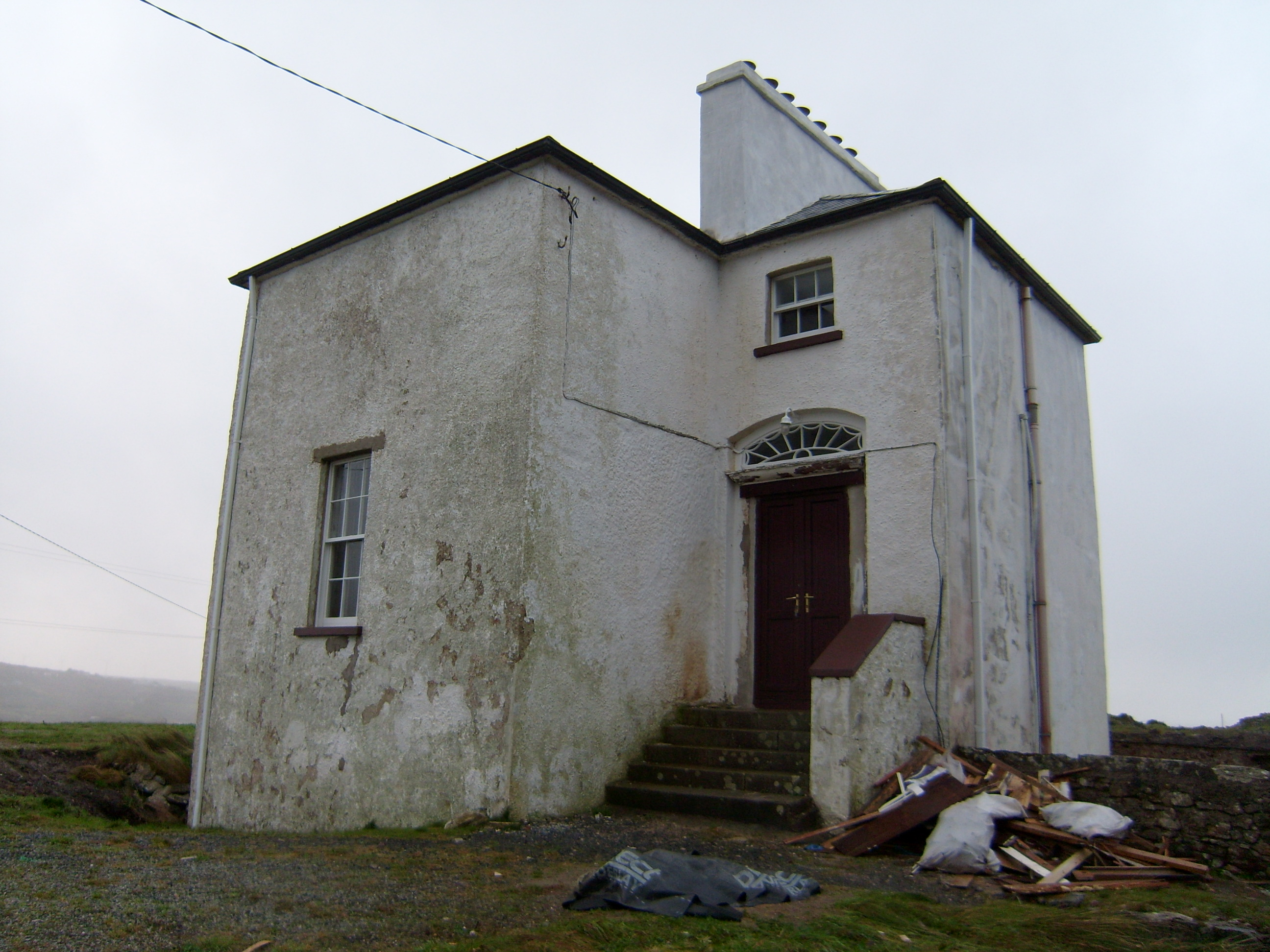 The Old Rectoryrectory/glebe/vicarage/curate's house · 1706 yd
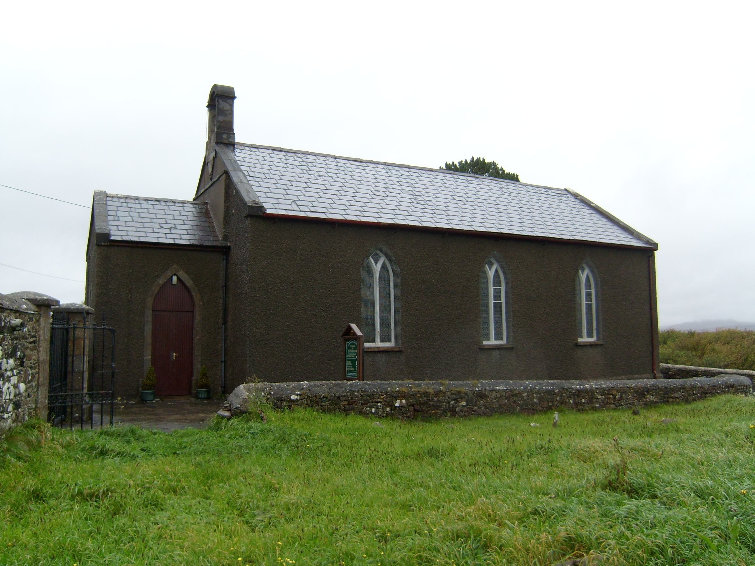 Lettermacaward Churchchurch/chapel · 1.4 mi
 Bonny Glen Wood - Bonny Glen walkOfficial walking route · 1.9 mi
 Bonny Glen WoodForest recreation place · 2.0 mi
 DooeyOfficial bathing water · 3.0 mi
 Narin–Portnoo StrandOfficial bathing water · 3.8 mi
 St. Connell's Museum and Heritage CentreMuseum · 4.0 mi
 InishkeelIslet · 4.1 mi
 Doon FortFairy fort / stone ringfort · 4.4 mi
Other information
Photo: Credit not shown in the picture search · Rights wording not checked; contact us if this picture should be removed