What is recorded here
Tobernagalt/Tobar na nGealt: Gleann na nGealt was the traditional resort of mad people from at least the 17th century (De Brún 1973, 197-9). They came to drink the water from 2 wells in the valley and to eat the watercress. This well consists of a shallow pool of fresh spring water with an abundant cover of watercress…
Read the whole record
From the National Monuments Service (Archaeological Survey of Ireland) record KE036-071
Places near here
Photo credits
- Maker not stated on source page, uk.pinterest.com
- Maker not stated on source page, nexusnewsfeed.com
- Maker not stated on source page, monumentalireland.ie
- Maker not stated on source page, commons.wikimedia.org
- Maker not stated on source page, www.pinterest.com
- Maker not stated on source page, tr.pinterest.com
- Nigel Cox, Wikimedia Commons · CC BY-SA 2.0
 CastleCastle, unclassified · 339 yd
Explorer Tom Castle in Doonore North was recorded by John O'Donovan back in 1841, but then it just disappeared. No trace survived…
 Fairy fort / earthen ringfort in GlannagaltFairy fort / earthen ringfort · 537 yd
Explorer Tom Fairy fort / earthen ringfort in Glannagalt is secretly proud of one very specific potato it grew in 1790. The whole…
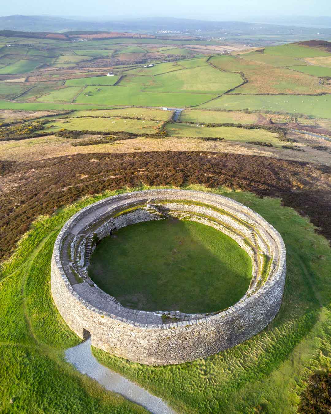 Fairy fort / earthen ringfort in ScrallaghbegFairy fort / earthen ringfort · 730 yd
Explorer Tom Fairy fort / earthen ringfort in Scrallaghbeg in County Kerry has a hidden passage. The whole parish once argued over…
 Wedge tomb in MaumnahaltoraWedge tomb · 1018 yd
Explorer Tom Wedge tomb in Maumnahaltora is deeply buried and full of water, which means it has a very wet sense of humour and zero…
 Standing stone in GlannagaltStanding stone · 1021 yd
Explorer Tom Standing stone in Glannagalt stands tall on a ridge, pretending it hosted a fake royal visit nobody can disprove. It’s…
 Standing stone in MaumnahaltoraStanding stone · 1032 yd
Explorer Tom A local goat once ruled this tiny sandstone slab with an iron hoof. It would stand on top and bleat at anyone who dared…
 Cupmarked stone in MaumnahaltoraCupmarked stone · 1047 yd
Explorer Tom This cupmarked stone survived a storm that flattened the village church tower next door. It claims the lightning missed…
 Fairy fort / earthen ringfort in FoilatrisnigFairy fort / earthen ringfort · 1064 yd
Explorer Tom Fairy fort / earthen ringfort in Foilatrisnig would give you two stars for showing up uninvited. It’s currently…
 Enclosure in ScrallaghbegEnclosure · 1367 yd
Explorer Tom Enclosure in Scrallaghbeg claims there’s an identical twin across the sea, probably drinking stout in Portugal. It’s…
 Standing stone in FoilatrisnigStanding stone · 1374 yd
Explorer Tom Standing stone in Foilatrisnig was nearly sold to a farmer as a replacement horse because of its shape. It stands tall…
Fairy fort / stone ringfort in ScrallaghbegFairy fort / stone ringfort · 1492 ydExplorer Tom Fairy fort in Scrallaghbeg makes a loud groaning sound at night when the wind hits its collapsed stones. Locals say…
 KnockbegMountain / peak · 1.3 mi
Explorer Tom Knockbeg in County Kerry is where Vikings got so thoroughly lost searching for gold that they accidentally discovered…
More archaeology and monuments in County Kerry · All of County Kerry

What do you know about this place?Tap to add a comment or ask a question