What is recorded here
Marked on the 1839 and 1925 eds of the OS 6-inch map and described in gothic lettering as Tobernafinoge – Tobar fuinseoige?, the well of the ash tree - on both. It is situated in the shallow valley of a small NW-SE stream c. 5m from its SW bank. It is not evident in reclaimed pasture, and there is no record of veneration.
Marked on the 1839 and 1925 eds of the OS 6-inch map and described in gothic lettering as Tobernafinoge – Tobar fuinseoige?, the well of the ash tree - on both. It is situated in the shallow valley of a small NW-SE stream c. 5m from its SW bank. It is not evident in reclaimed pasture, and there is no record of veneration.
From the National Monuments Service (Archaeological Survey of Ireland) record WX035-020
The monument record does not grant public access. Check the route and ask the landowner before entering private land.
- What survives
- Recorded monument
Places near here
Photo credits
- National Inventory of Architectural Heritage
- Richard Webb, Geograph · CC BY-SA 2.0
- Mike Searle, Wikimedia Commons · CC BY-SA 2.0
- Hywel Williams, Geograph · CC BY-SA 2.0
- Ryanforsyth9, Wikimedia Commons · CC BY-SA 4.0
- seegraswiese, Wikimedia Commons · CC BY-SA 3.0
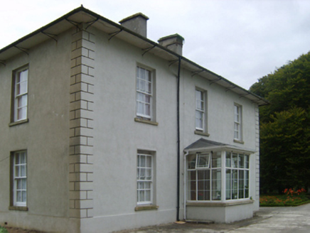 Ballinaboola HouseFarm house · 421 ydIndicatedEnclosure · 1146 yd
 mill (water)1.0 mi
 Carrickbyrne HillMountain / peak · 2.3 mi
_-_geograph.org.uk_-_7608906.jpg/250px-Castles_of_Leinster,_Tellarought,_Wexford_(1)_-_geograph.org.uk_-_7608906.jpg "Photo: Mike Searle, Wikimedia Commons · CC BY-SA 2.0") Castle (in ruins)Castle, tower house · 2.9 mi
Castle (in ruins)Castle, tower house · 2.9 mi Lacken HillMountain / peak · 3.0 mi
 1798 MonumentMonument · 3.1 mi
 Forest Of The DunbrodyForest · 3.3 miCrutched FriarsMemorial · 4.9 mi
 Devon whitebeam5.0 miGlenour MonumentMemorial · 5.0 mi
_(geograph_5442502).jpg/250px-Castles_of_Leinster-_Adamstown,_Wexford_(1)_(geograph_5442502).jpg "Photo: Mike Searle, Wikimedia Commons · CC BY-SA 2.0") Castle (in ruins)Castle, tower house · 5.3 mi
Castle (in ruins)Castle, tower house · 5.3 miMore archaeology and monuments in County Wexford · All of County Wexford
What do you know about this place?