
What is recorded here
Tobernabrid is a lost holy well in County Cork, Ireland, possibly the same as Suilin, the Well for the Eyes, recorded by Bowman in 1934. A farmer may have diverted its water to feed cattle, moving the living source into an adjoining field in Gneeves and erasing the sacred site from human memory. The fallen tree across the disused land suggests nature itself has forgotten the well, reclaiming what people stopped tending.
Not marked on 1842 and 1904 OS 6-inch maps. On N side of overgrown and disused land; fallen tree across site prevented inspection. Possibly same well as that recorded by Bowman (1934, 513) in this townland which moved to adjoining field in Gneeves when farmer made channel from it to provide water for cattle; called 'Suilin (Well for the Eyes)'.
The above description is derived from the published 'Archaeological Inventory of County Cork. Volume 4: North Cork' (Dublin: Stationery Office, 2000). In certain instances the entries have been revised and updated in the light of recent research.
Date of upload/revision: 14 January 2009
The monument record does not grant public access. Check the route and ask the landowner before entering private land.
- What survives
- Recorded monument
Places near here
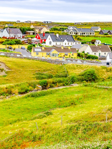 Man-made underground passage (Site of)Man-made underground passage · 1736 yd
 Fulacht fia in Gneeves (duhallow By., Kilmeen Par.)Fulacht fia · 1.4 mi
 IndicatedHouse, vernacular house · 1.4 mi
 Drominagh Castle (Site of)Castle, unclassified · 2.1 mi
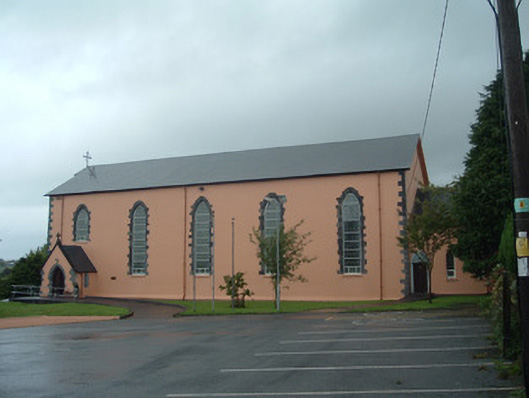 Church of the Presentation of Our Ladychurch/chapel · 2.6 mi
 Castle McAuliffe (Site of)Castle, unclassified · 3.2 mi
 Battle of Knocknaclashybattle · 5.3 mi
 Rathcool WoodWood · 5.5 mi
 Stanner's Glen, Priory WoodWood · 6.2 mi
 Kanturk CastleHeritage attraction · 6.3 mi
 St Fursey's WellSpring · 7.8 mi
 Mount Hillary - Knightfield LoopWalking route · 8.8 mi
Other information
Photo: Credit not shown in the picture search · Rights wording not checked; contact us if this picture should be removed