
What is recorded here
Situated on the NW side of a small narrow valley. Loosely set stones form a circle (diam. 6m) around the original location of the well which is now diverted into a field ditch. No surviving local traditions. The map name means 'tobar Mhuire' indicating a dedication to the Virgin Mary.
The above description is derived from the published 'Archaeological Inventory of County Wicklow' (Dublin: Stationery Office, 1997). In certain instances the entries have been revised and updated in the light of recent research.
Date of upload/revision: 17 December 2008
A local holy well or ritual site; wider significance not recorded.
The monument record does not grant public access. Check the route and ask the landowner before entering private land.
- What survives
- Recorded monument
Places near here
 ToberavosterHoly well · 793 yd
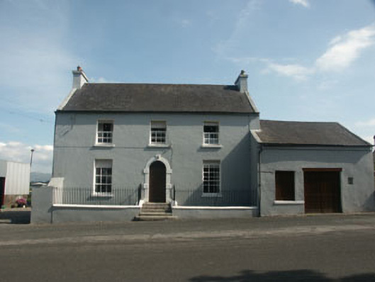 Ballynatone Househouse · 985 yd
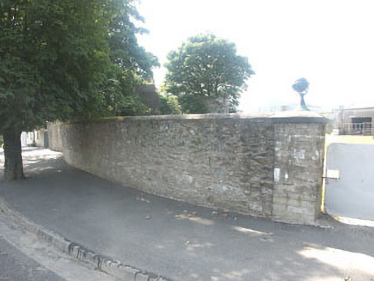 gates/railings/wallsgates/railings/walls · 1054 yd
 CastlerudderyCastle, unclassified · 1286 yd
 Castleruddery MotteArchaeological place · 1599 yd
 Ballyhook HillMountain / peak · 1617 yd
 Enclosure in Castleruddery LowerEnclosure · 1.1 mi
 English hollyEnglish holly · 1.4 mi
 Pedunculate OakPedunculate Oak · 3.1 mi
 Saint Brigit's Mass StoneNamed rock · 3.4 mi
 Saint Brigit's ChairNamed rock · 3.4 mi
 Tinoran HillMountain / peak · 3.8 mi
Other information
Photo: Credit not shown in the picture search · Rights wording not checked; contact us if this picture should be removed