
What is recorded here
In woodland, on S verge of pond. Sub-circular well (2.5m N-S, 3m E-W) enclosed by dry-stone wall (H 0.42m; Wth 0.8m). Gap in wall (Wth 0.5m) at WNW forms entrance, leading down to well via 2 stone steps. Partially stone-lined channel drains well at NE. Well dry at time of visit. By 1840 rounds were only occasionally made here (OSL vol. 1, 21) and had ceased completely by 1950s (Ó Danachair 1955, 212); rounds were made on the 15th August (ibid.).
See attached photos taken in 1954 by Caoimhín Ó Danachair, courtesy of and © National Folklore Collection, UCD. The Photographic Collection, F025.21.00266 accessible online at www.duchas.ie/en/cbeg/31095 and F025.21.00265 accessible online at www.duchas.ie/en/cbeg/17019.
See attached colour photographs courtesy of Amanda Clarke
Compiled by: Denis Power
Revised by: Caimin O'Brien
Date of revised upload: 30 September 2020
Linked to Saint Murry, an early Irish Christian saint associated with healing and protection, the well may have been a site of pilgrimage and ritual washing for ailments, particularly skin conditions. Local tradition suggests that water was collected at dawn for maximum efficacy, and the site retains elements of pre-Christian sacred well practices.
The monument record does not grant public access. Check the route and ask the landowner before entering private land.
- What survives
- Recorded monument
Places near here
 Fulacht fia in TobermurryFulacht fia · 327 yd
 Carriganea CastleCastle · 929 yd
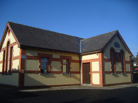 schoolschool · 1193 yd
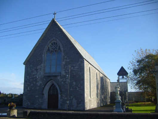 Saint Mary's Catholic Churchchurch/chapel · 1296 yd
 Grave Yd.Graveyard · 1375 yd
 Derreen Castle (in ruins)Castle, tower house · 1409 yd
 Celtic Park and GardensHeritage attraction · 1.7 mi
 Stonehall Visitor FarmHeritage attraction · 1.7 mi
 Sweet ChestnutSweet Chestnut · 1.9 mi
 European YewEuropean Yew · 2.0 mi
 Ringmoylan PierVisitor information · 2.7 mi
 Mellon PointHeadland · 3.0 mi
Other information
Photo: Credit not shown in the picture search · Rights wording not checked; contact us if this picture should be removed