
Places near here
Photo credits
- National Inventory of Architectural Heritage
- Kmcnamee, Wikimedia Commons · CC BY-SA 4.0
- Paulw62, Wikimedia Commons · CC BY-SA 4.0
- David Corkey / Radio Kerry Sport, www.radiokerry.ie
- Superbass, Wikimedia Commons · CC BY-SA 4.0
Explorer Tom Fairy fort / earthen ringfort in Rathmorrel was the subject of such a bad poem that the author quit writing forever.…
Castle (in ruins)Castle, unclassified · 787 ydExplorer Tom Castle in Rathmorrel would complain to the council about its walls being stolen for a shed. The D'Cantillons built it…
CastleCastle, unclassified · 2.4 miExplorer Tom Castle in Ballykealy gave a title to a younger Fitzmaurice branch, and I’m pretty sure a poet fell into the ditch…
 Catholic Church of the Sacred HeartChurch/chapel · 3.2 mi
Explorer Tom Catholic Church of the Sacred Heart in Kilmoyly South is stuck in a fairy dispute over parking rights. The apse is…
 Kilmoyley GAAGAA ground · 3.8 mi
 Abbeydorney Monastery (in ruins)Religious house, Cistercian monks · 5.5 mi
Explorer Tom Abbeydorney Monastery in Knockaunmore is playing hide-and-seek with me. A tale from 1846 says a fox took charge here…
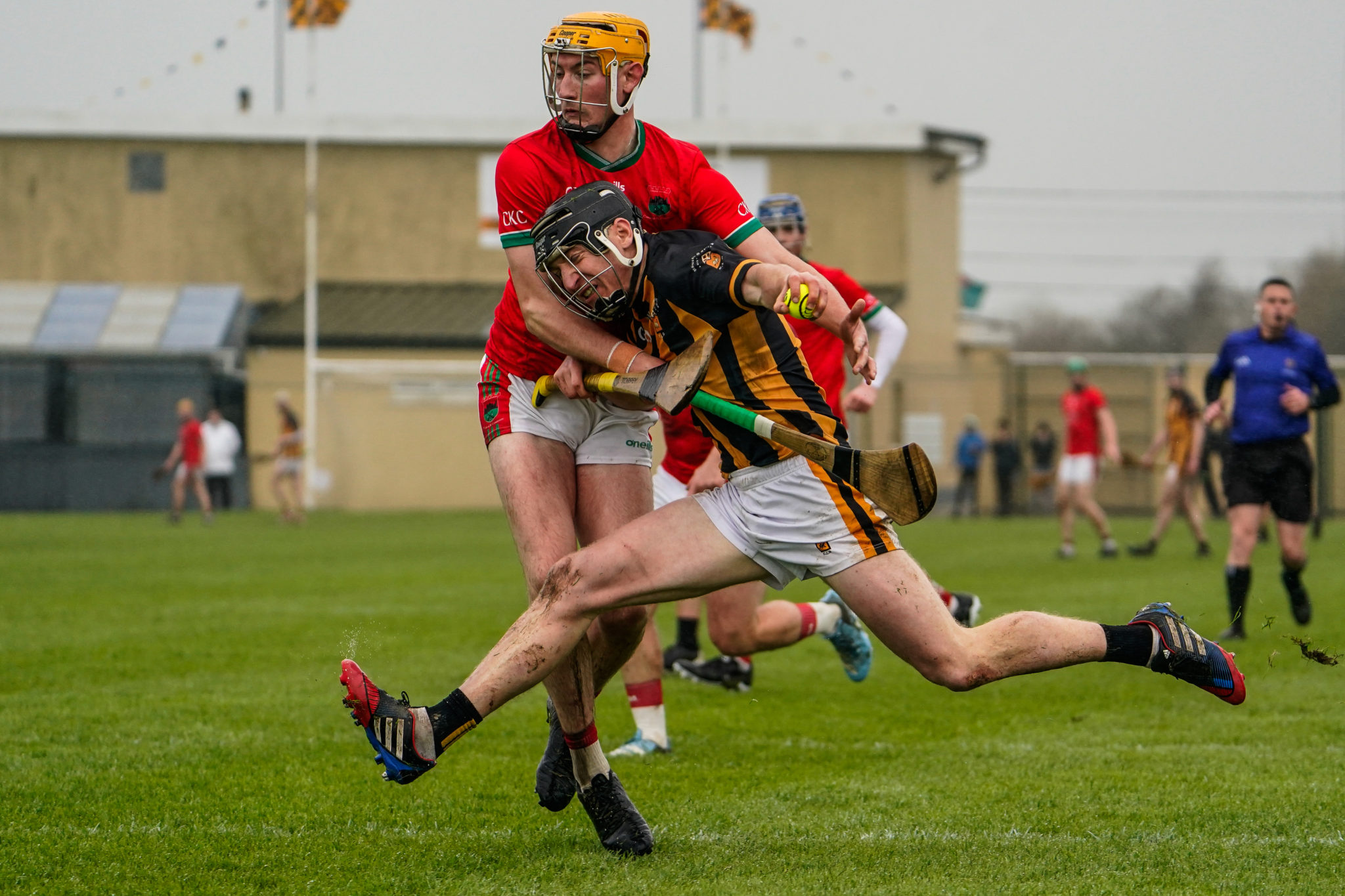 Abbeydorney GAA pitchGAA ground · 5.7 miAbbeydorney Community PlaygroundChildren's playground · 5.9 mi
Explorer Tom Abbeydorney Community Playground has an imaginary twin across the sea that it sends postcards to regularly about local…
Faill an tSáisMountain / peak · 21 miExplorer Tom Faill an tSáis in County Kerry would complain to the council about the lack of proper signage for its name. It feels…
Tearmann Dúlra Cnoc Bréanainn / Mount Brandon Nature ReserveNature reserve · 22 miExplorer Tom Tearmann Dúlra Cnoc Bréanainn / Mount Brandon Nature Reserve is sitting on top of a mountain with a name longer than my…
World War II plane crash site: Engine of Focke-Wulf Fw 200 CondorHeritage attraction · 23 miExplorer Tom World War II plane crash site: Engine of Focke-Wulf Fw 200 Condor in County Kerry was the subject of a bad poem about…
 Ogham stone (present location) in Baile An Tsagairt (tc Na Gleannta)Ogham stone (present location) · 28 mi
Explorer Tom Ogham stone in Baile An Tsagairt sparked such a huge argument last century you could hear it from the harbour. Ten…
More archaeology and monuments in County Kerry · All of County Kerry

What do you know about this place?Tap to add a comment or ask a question