
What is recorded here
Toberkieran/Tobar Chiaráin: Situated on the N side of Ballydavid beach on low-lying ground within reach of the high spring tides. Described in 160 as 'a strong flow of water now issuing from a pipe in a recently-built road embankment. Still visited by a few on Christmas Day, Easter Sunday and " Hill Sunday ". Pilgrims leave some small object as an offering. Many cures are ascribed to this well (Ó Danachair 1960, 75).
See attached photograph of Tobar Chiarán, Co. Kerry, taken 1946 by Caoimhín Ó Danachair courtesy of and © National Folklore Collection, UCD. The Photographic Collection, F025.18.00054 accessible online at https://www.duchas.ie/en/cbeg/16786.
The above description is derived from J. Cuppage, ‘Corca Dhuibhne. Dingle Peninsula archaeological survey. Ballyferriter. Oidhreacht Chorca Dhuibhne’ (1986), no. 917. In certain instances the entries have been revised and updated in the light of recent research.
Revised by: Caimin O'Brien
Date of revised upload: 13 April 2022
Toberkieran, also known as Tobar Chiaráin, is associated with Saint Ciarán, a 6th-century Irish saint and founder of the monastery at Clonmacnoise. The well was traditionally visited for its healing properties, particularly for eye ailments, and was a site of pilgrimage and seasonal rituals.
The monument record does not grant public access. Check the route and ask the landowner before entering private land.
- What survives
- Recorded monument
Places near here
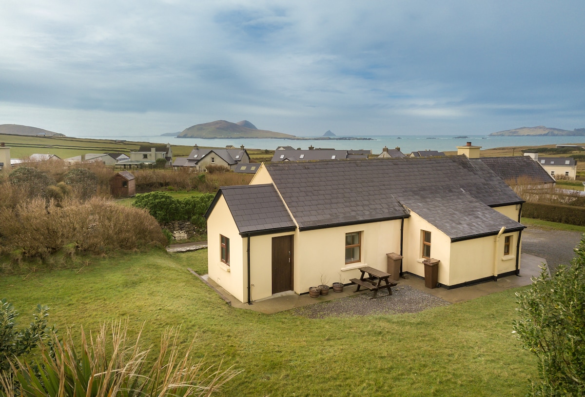 Enclosure in Baile DháithEnclosure · 547 yd
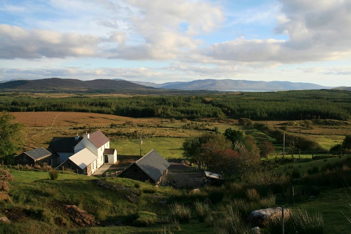 Hut site in Currach GráigeHut site · 735 yd
 Ballydavid Signal TowerRuins · 1418 yd
 Ceann Bhaile DháithMountain / peak · 1420 yd
 Moorestown CastleCastle · 1485 yd
 Cúinne an MhionnáinHeadland · 1.2 mi
 Séipéal Bhréanainn [Saint Brendan's Catholic Church]church/chapel · 1.3 mi
 Cuan Ard na CaithneBay · 2.0 mi
 Brandon CreekViewpoint · 2.3 mi
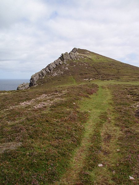 Binn DiarmadaMountain / peak · 2.4 mi
 Gallarus Castle (in ruins)Castle, tower house · 3.0 mi
 Trá an FhíonaBeach / strand · 3.0 mi
Other information
Photo: Credit not shown in the picture search · Rights wording not checked; contact us if this picture should be removed