What is recorded here
Fairy fort / earthen ringfort in Baile Ghainín: A univallate rath with a 20.8m internal diameter sits on a gentle south-facing slope near the Feohanagh river. Its raised interior and drystone-facing bank mark the junction of three fields, preserving a boundary where human hands shaped the earth long before modern memory.
Internal diam. 20.8m.
A univallate rath situated on a very gentle S facing slope about 150m N of the Feohanagh river. The interior is raised above the level of the surrounding field so that, though the enclosing bank rises only slightly above the interior, it is c. 1.25m high externally. The enclosure is located at the junction of 3 fields, and for most of its circumference the bank is faced externally with drystone walling which may be secondary. The N portion of the bank is obscured by vegetation but appears to consist of a stone wall c. 1m high. A blocked-up entrance gap occurs at E.
The above description is derived from J. Cuppage, ‘Corca Dhuibhne. Dingle Peninsula archaeological survey. Ballyferriter. Oidhreacht Chorca Dhuibhne’ (1986), no. 322. In certain instances the entries have been revised and updated in the light of recent research.
Date of upload: 6 August 2013
The monument record does not grant public access. Check the route and ask the landowner before entering private land.
- What survives
- Recorded monument
Places near here
 Moorestown CastleCastle · 646 yd
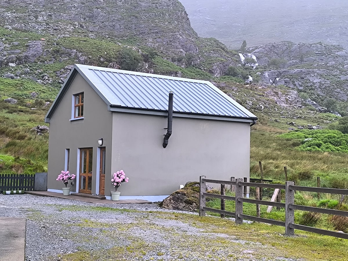 Hut site in An Baile BreacHut site · 1132 yd
 Cross in Cill ChuáinCross · 1275 yd
 Church in Cill ChúileChurch · 1.5 mi
 Brandon CreekViewpoint · 1.5 mi
 Saints RoadRoad, road/trackway · 1.5 mi
 Ceann Bhaile DháithMountain / peak · 1.6 mi
 Cúinne an MhionnáinHeadland · 1.7 mi
 Cuan Ard na CaithneBay · 2.8 mi
 Tower (in ruins)Castle, unclassified · 2.9 mi
 Binn na mBanMountain / peak · 3.1 mi
 Gallarus OratoryHeritage attraction · 3.2 mi