
What is recorded here
Ceann Bhaile Dháith is recorded as a mountain / peak in County Kerry. Its open map record supplies this location and any linked names or public references.
Ceann Bhaile Dháith rises to approximately 550 meters and is part of the broader MacGillycuddy's Reeks range, one of Ireland's most geologically significant and rugged mountain systems. While not widely referenced in folklore, its prominence contributes to the cultural and natural heritage of the Kerry landscape.
Places near here
 Ballydavid Signal TowerRuins · 9 yd
 Cúinne an MhionnáinHeadland · 790 yd
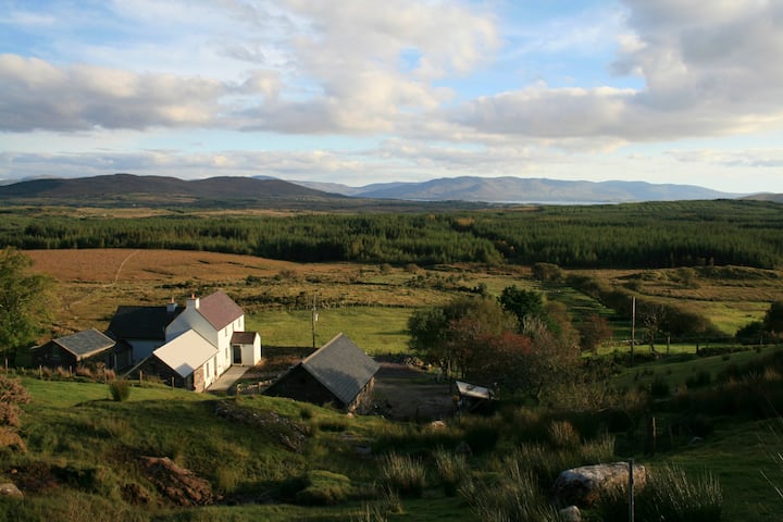 Hut site in Currach GráigeHut site · 1022 yd
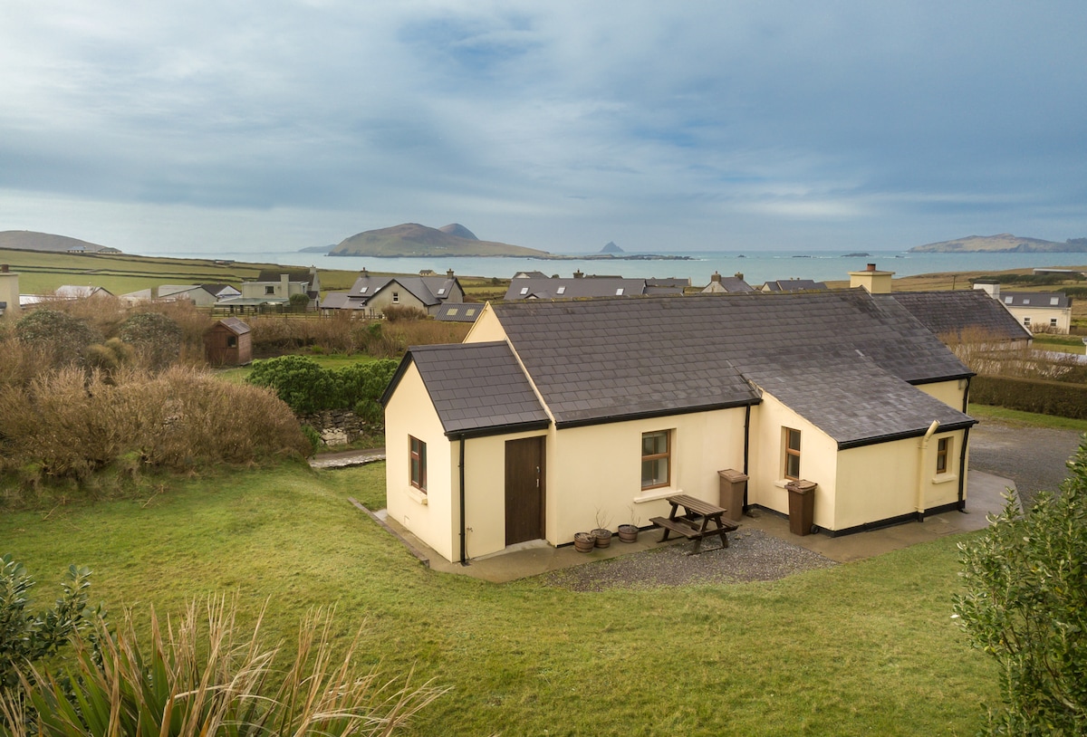 Enclosure in Baile DháithEnclosure · 1096 yd
 Moorestown CastleCastle · 1.3 mi
 Séipéal Bhréanainn [Saint Brendan's Catholic Church]church/chapel · 2.1 mi
 Brandon CreekViewpoint · 2.2 mi
 Faill na MúCliff · 2.5 mi
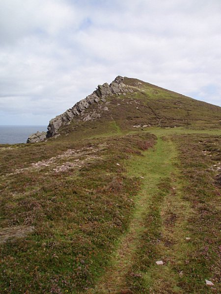 Binn DiarmadaMountain / peak · 2.6 mi
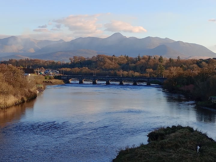 Binn MheánaighMountain / peak · 3.2 mi
 Dunanoir FortVisitor information · 3.6 mi
 Trá an FhíonaBeach / strand · 3.7 mi
Other information
Photo: Credit not shown in the picture search · Rights wording not checked; contact us if this picture should be removed