What is recorded here
In a hollow in rough pasture and scrub. Named ‘Toberkeagh’ in Gothic script on the 1838 and 1920 editions of the OS 6-inch maps, this disused spring well (diam. 1.6m; D 2.1m) is enclosed by a low circular drystone wall opening to the N, where nine stone steps provide access down to the water. Two modern cattle water troughs lie immediately to the W and N. There are no indications that this was ever considered to be a holy well.
Compiled by: Galway Archaeological Survey, UCG
Date of upload: 19 December 2022
The monument record does not grant public access. Check the route and ask the landowner before entering private land.
- What survives
- Recorded monument
Places near here
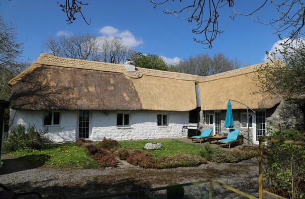 LisduffFairy fort / stone ringfort · 1237 yd
 CaherbulliginFairy fort / stone ringfort · 1296 yd
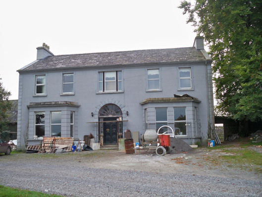 Lavallycountry house · 1471 yd
 Toberbrackan CastleCastle, unclassified · 1490 yd
 Laghtgal Monumentmonument · 1.1 mi
 Kilcornan WoodWood · 1.3 mi
 Castlegar (in ruins)Castle, unclassified · 1.7 mi
 Kilcornan ForestWood · 1.9 mi
 Drumacoo Monastic SiteHeritage attraction · 4.4 mi
 Athenry AbbeyHeritage attraction · 5.3 mi
 Goose IslandIslet · 7.6 mi
 InishcorraIslet · 7.8 mi