
What is recorded here
Caherbulligin is a ruined stone ringfort in County Galway, Ireland, where six-foot-thick walls of huge blocks still mark a hundred-and-five-foot circle beneath dense thorn and scrub. The rough rocky interior hides two filled-in underground passages, suggesting the fort was built for more than ordinary livestock or temporary shelter. Its northeast entrance now disappears into woodland, preserving a place where human ambition and forgotten purpose still resist the pastureland around it.
In a small woodland plantation surrounded by pastureland. Redington (1916a, 55) described this cashel as being 'levelled to the foundations. The walls were 6 ft. [1.8m] thick and formed of huge stones filled in with rubble'. The interior, which was 'very rough and rocky' was '105 ft. [32m] in diameter' and contained 'two filled-in Man-made underground passages (GA096-025001-). The entrance was on the N.E. side'. Classified by McCaffrey (1952, 160, no. 50) as a circular 'Stone fort', the enclosing wall of which was '6' [1.8m] wide and 1'8" [0.54m] high' and 'composed of two faces of blocks set on edge.' On inspection the site was inaccessible due to dense impenetrable thorn and scrub growth.
Compiled by: Galway Archaeological Survey, UCG
Date of upload: 8 January 2018
The monument record does not grant public access. Check the route and ask the landowner before entering private land.
- What survives
- Recorded monument
Places near here
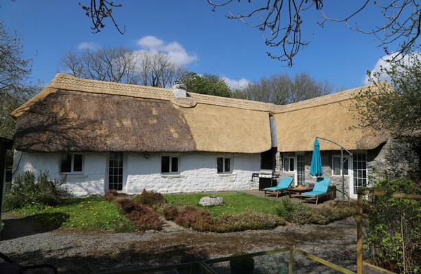 LisduffFairy fort / stone ringfort · 147 yd
 CaveMan-made underground passage · 669 yd
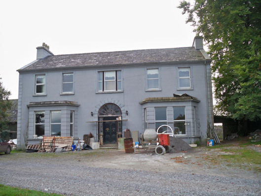 Lavallycountry house · 1605 yd
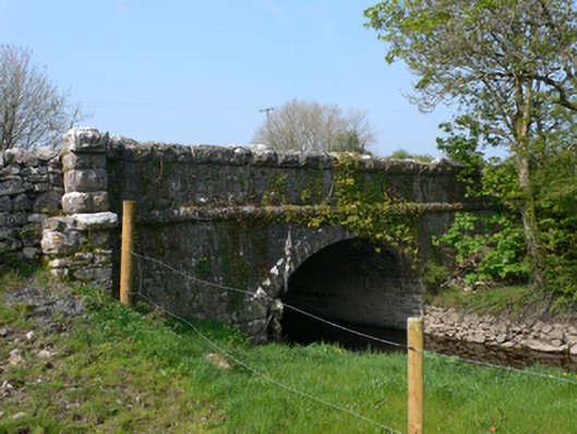 Whistle Bridgebridge · 1618 yd
 Toberbrackan CastleCastle, unclassified · 1.4 mi
 Bawn in MoyveelaBawn · 1.6 mi
 Kilcornan WoodWood · 1.9 mi
 Kilcornan ForestWood · 2.6 mi
 Athenry AbbeyHeritage attraction · 4.5 mi
 Athenry CastleHeritage attraction · 4.6 mi
 First Battle of Athenrybattle · 5.2 mi
 Leadmine HillMountain / peak · 7.4 mi
Other information
Photo: Credit not shown in the picture search · Rights wording not checked; contact us if this picture should be removed