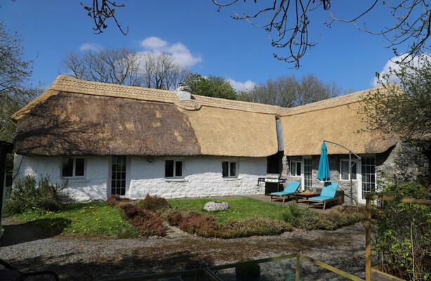
What is recorded here
In an area of pastureland. Poorly preserved circular cashel (diam. 38m) defined by a drystone wall obscured by field-clearance rubble and dense overgrowth. A field wall cuts across the monument at N and S. (Redington 1916a, 55; McCaffrey 1952, 160, no. 53)
Compiled by: Galway Archaeological Survey, UCG
Date of upload: 8 January 2018
The monument record does not grant public access. Check the route and ask the landowner before entering private land.
- What survives
- Recorded monument
Places near here
 CaherbulliginFairy fort / stone ringfort · 147 yd
 CaveMan-made underground passage · 710 yd
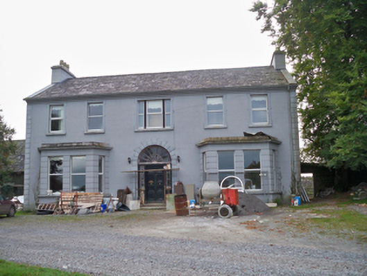 Lavallycountry house · 1690 yd
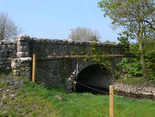 Whistle Bridgebridge · 1732 yd
 Toberbrackan CastleCastle, unclassified · 1.4 mi
 Site of Shanbally CastleCastle, unclassified · 1.7 mi
 Kilcornan WoodWood · 1.9 mi
 Kilcornan ForestWood · 2.6 mi
 Athenry AbbeyHeritage attraction · 4.6 mi
 Athenry CastleHeritage attraction · 4.7 mi
 First Battle of Athenrybattle · 5.3 mi
 Leadmine HillMountain / peak · 7.4 mi
Other information
Photo: Credit not shown in the picture search · Rights wording not checked; contact us if this picture should be removed