
What is recorded here
Dunkellin Castle, recorded in 1838 and gone by 1933, stood beside a turlough where water appeared and vanished with the seasons. Its stones were taken or buried before memory faded, leaving only pasture and a road marker. The castle did not disappear quietly; it was consumed, rebuilt into elsewhere, or erased because someone wanted the land to forget it.
In pastureland overlooking a turlough to the SW and on the SW side of a byroad through a small house cluster. Named 'Castle Gar (in ruins)' on the 1838 edition of the OS 6-inch map but evidently demolished by the time of the 1933 edition, when the words 'Site of' are appended. No visible surface trace survives. Dunkellin Castle (GA103-120002-) lies c. 475m to the SE.
Compiled by: Galway Archaeological Survey, UCG
Date of upload: 13 September 2021
The monument record does not grant public access. Check the route and ask the landowner before entering private land.
- What survives
- Recorded monument
Places near here
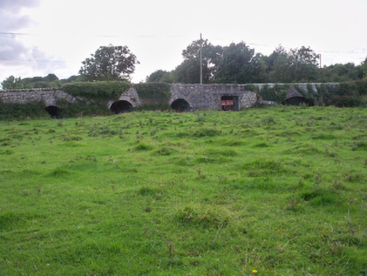
 Man-made underground passage in Castlegar (dunkellin By.)Man-made underground passage · 63 yd
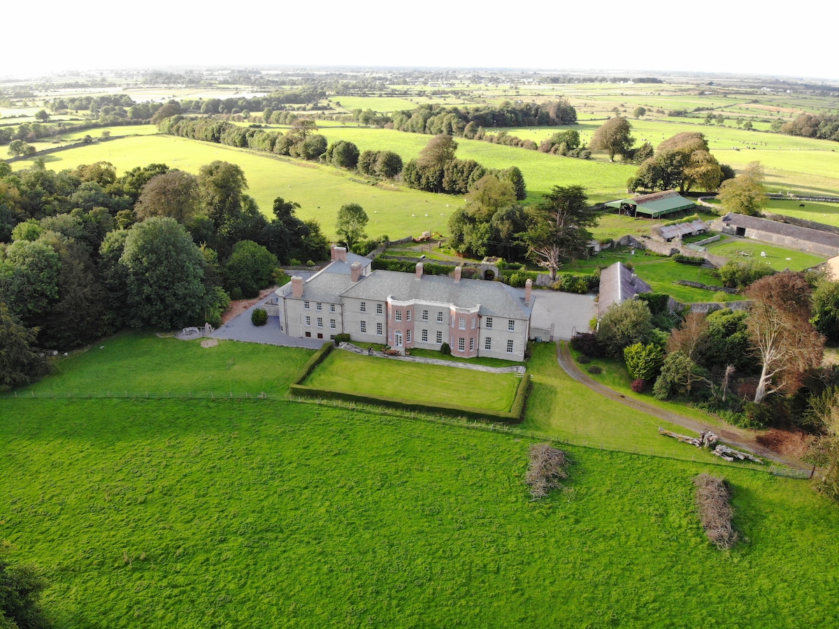 EnclosureEnclosure, large enclosure · 341 yd
 Dunkellin Bridgebridge · 474 yd
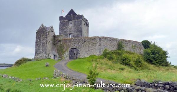
 Dunkellin Castle (in ruins)Castle, tower house · 503 yd
 St. Colmans Catholic ChurchChurch · 939 yd
 Kilcornan ForestWood · 1.1 mi
 Kilcornan WoodWood · 1.4 mi
 Toberbrackan CastleCastle, unclassified · 1.5 mi
 Drumacoo Monastic SiteHeritage attraction · 2.8 mi
 MweenisharanIslet · 4.2 mi
 Drumharsna CastleHeritage attraction · 5.0 mi
 IllananireyIslet · 5.6 mi
Other information
Photo: Credit not shown in the picture search · Rights wording not checked; contact us if this picture should be removed