
What is recorded here
From the National Monuments Service (Archaeological Survey of Ireland) record CL033-039002
Places near here
Photo credits
- National Inventory of Architectural Heritage
- Maker not stated on source page, en.m.wikipedia.org
- Maker not stated on source page, www.interment.net
- Roger Diel, Geograph · CC BY-SA 2.0
- Maker not stated on source page, www.go-to-ireland.com
- Maker not stated on source page, www.dreamstime.com
- Maker not stated on source page, www.clareecho.ie
- Colin Park, Geograph · Creative Commons Attribution-ShareAlike 2.0
- Sheila1988, Wikimedia Commons
- Golfing in Ireland; photographer not stated, Source publisher
- Maker not stated on source page, en.wikipedia.org
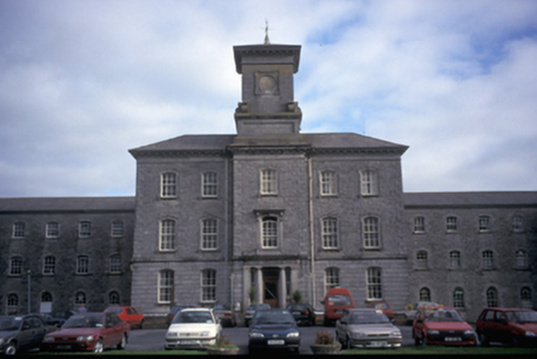 Our Lady's HospitalHospital/infirmary · 265 yd
Explorer Tom Our Lady's Hospital in Dulick, County Clare is a massive former mental asylum with thirty-three bays. It looks like a…
 Enclosure in BallycoreyEnclosure · 745 yd
Explorer Tom Enclosure in Ballycorey hosted a fake royal visit that nobody can disprove or confirm. The scarp is low because the…
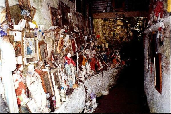 Mapped cemeteryCemetery · 962 yd
Explorer Tom Another Mapped cemetery in County Clare, whose name really means 'Place Where I Left My Umbrella And Never Came Back…
 O'Brien's CastleCastle/fortified house · 1219 yd
Explorer Tom O'Brien's Castle in Knockanoura is just a few bricks left over from a storm that probably laughed at it while…
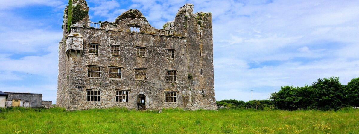 Castle (in Ruins)Castle, unclassified · 1221 yd
Explorer Tom Castle in Knockanoura claims to be older than dirt, which is probably true if you squint hard enough. It’s got that 'I…
 CastleCastle, ringwork · 1225 yd
Explorer Tom Castle in Lifford sits on the bank of the River Fergus, probably judging everyone who walks past. Saint Patrick would…
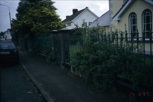 WesterlyGates/railings/walls · 1370 yd
Explorer Tom Westerly in Lifford is just gate piers and railings from 1875, which feels like buying the furniture without the house.…
 Drumcliffe CemeteryCemetery · 1448 yd
Explorer Tom Drumcliffe Cemetery in County Clare would bring a bag of old coins to any party just to show off its history. It’s very…
 Ennis CourthouseCourt house · 1607 yd
Explorer Tom Ennis Courthouse in Lifford was built between 1846 and 1850 by Henry Whitestone, who won a competition to design this…
 Cusack ParkGAA ground · 1.0 mi
Explorer Tom Cusack Park puts Clare hurling in the heart of Ennis, where a strike can set off a roar before the sliotar has decided…
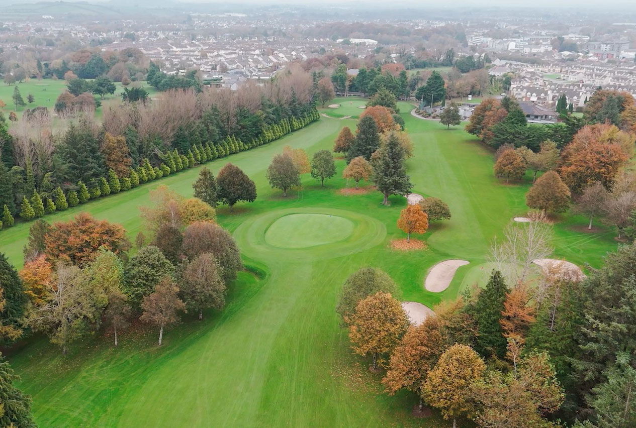 Ennis Golf ClubGolf course · 1.7 mi
 Fairy fort / earthen ringfort in Cahircalla MoreFairy fort / earthen ringfort · 2.2 mi
Explorer Tom Fairy fort / earthen ringfort in Cahircalla More is playing hard to get, likely hiding behind a very stubborn farmer's…
More archaeology and monuments in County Clare · All of County Clare

What do you know about this place?Tap to add a comment or ask a question