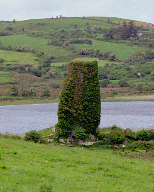
What is recorded here
On the E-facing slope of a valley opening out to Lough Girroga, c. 200m to the S, in reclaimed pasture. Hachured N-SSW on the 1916 OS 6-inch map with the W side indicated by a curve in the field boundary. An enclosure (38.4m NW-SE; 38m NE-SW) defined by a scarp (H 0.3-0.5m) NW-SW. From SW to NW the boundary is defined…
Read the whole record
From the National Monuments Service (Archaeological Survey of Ireland) record CL033-124
Places near here
Photo credits
- National Inventory of Architectural Heritage
- Maker not stated on source page, www.clareecho.ie
- Maker not stated on source page, www.interment.net
- Maker not stated on source page, en.m.wikipedia.org
- Roger Diel, Geograph · CC BY-SA 2.0
- Maker not stated on source page, www.go-to-ireland.com
- Maker not stated on source page, www.locationscout.net
- Maker not stated on source page, en.wikipedia.org
- Sheila1988, Wikimedia Commons
- Maker not stated on source page, visitclare.ie
- C O'Flanagan, Wikimedia Commons · CC BY-SA 2.0
- Golfing in Ireland; photographer not stated, Source publisher
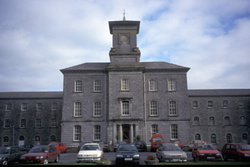 Our Lady's HospitalHospital/infirmary · 1005 yd
Explorer Tom Our Lady's Hospital in Dulick, County Clare is a massive former mental asylum with thirty-three bays. It looks like a…
 Drumcliffe CemeteryCemetery · 1584 yd
Explorer Tom Drumcliffe Cemetery in County Clare would bring a bag of old coins to any party just to show off its history. It’s very…
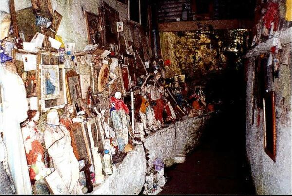 Mapped cemeteryCemetery · 1634 yd
Explorer Tom Another Mapped cemetery in County Clare, whose name really means 'Place Where I Left My Umbrella And Never Came Back…
 Enclosure in BallyalliaEnclosure · 1693 yd
Explorer Tom Enclosure in Ballyallia is playing hard to get because its official biography hasn't been written yet. Imagine it…
 O'Brien's CastleCastle/fortified house · 1725 yd
Explorer Tom O'Brien's Castle in Knockanoura is just a few bricks left over from a storm that probably laughed at it while…
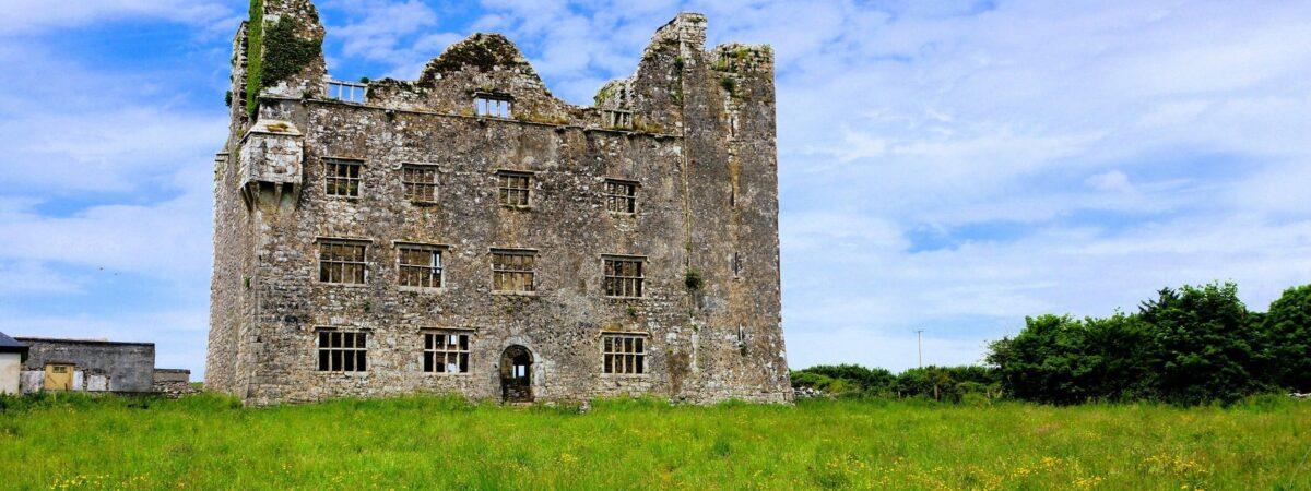 Castle (in Ruins)Castle, unclassified · 1728 yd
Explorer Tom Castle in Knockanoura claims to be older than dirt, which is probably true if you squint hard enough. It’s got that 'I…
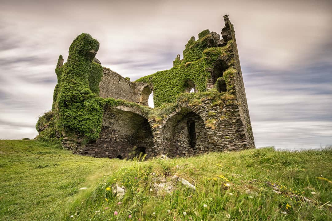 Ballyallia Castle (in Ruins)Castle, tower house · 1751 yd
Explorer Tom Ballyallia Castle in Ballyallia is a tower house that probably judges your posture from a distance. The sheep out there…
 Fairy fort / stone ringfort in BallymaquigginFairy fort / stone ringfort · 1.3 mi
Explorer Tom Fairy fort / stone ringfort in Ballymaquiggin hears every argument between the neighbours through its walls and…
 Cusack ParkGAA ground · 1.4 mi
Explorer Tom Cusack Park puts Clare hurling in the heart of Ennis, where a strike can set off a roar before the sliotar has decided…
 Clare County MuseumMuseum · 1.5 mi
Explorer Tom Clare County Museum in County Clare is always getting picked on by the wind because it’s got a lot of glass windows and…
 Clare MuseumMuseum · 1.6 mi
Explorer Tom Clare Museum, tucked into an old convent building on Arthur's Row in Ennis, can take you from Bronze Age treasure to a…
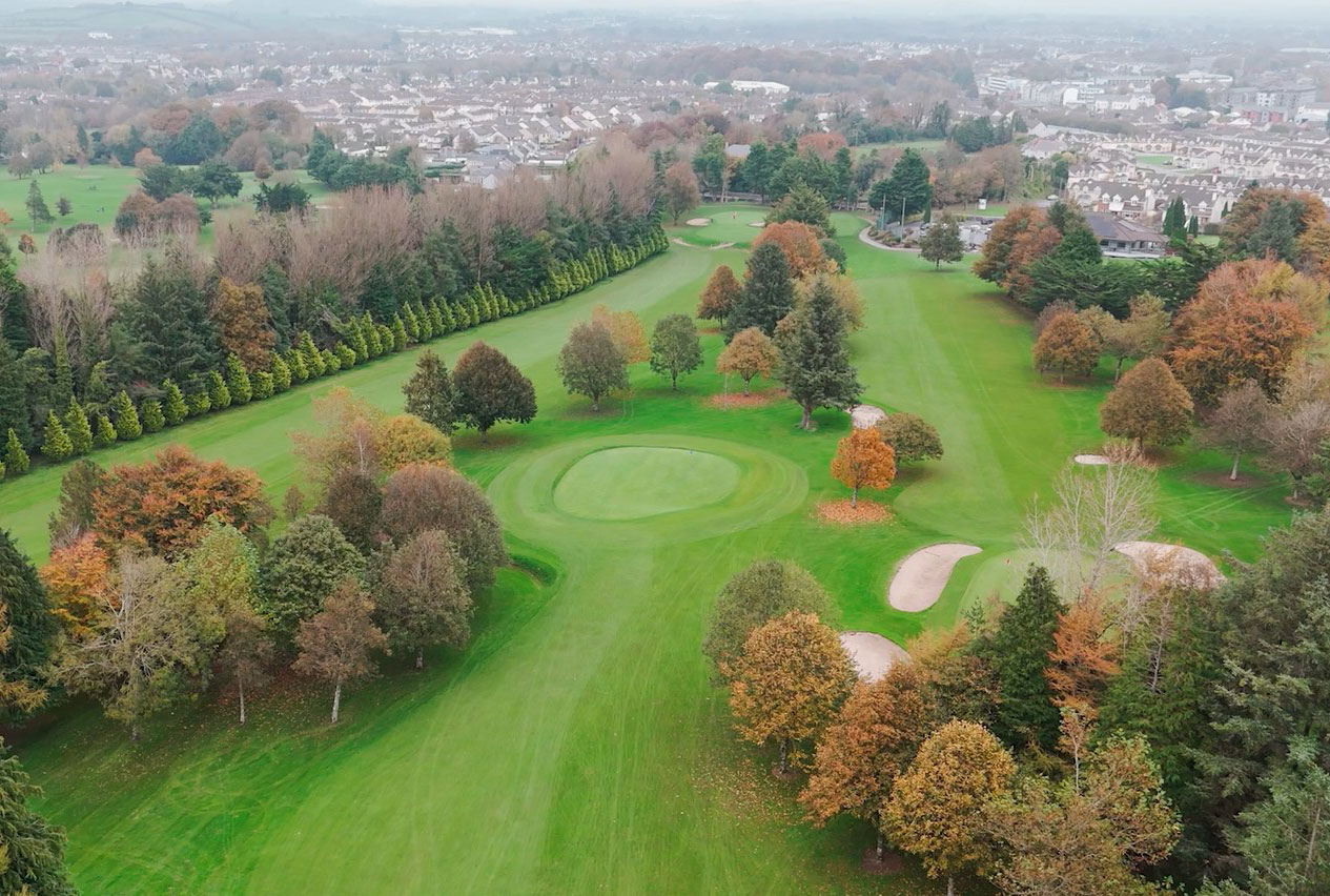 Ennis Golf ClubGolf course · 2.1 mi
More archaeology and monuments in County Clare · All of County Clare

What do you know about this place?Tap to add a comment or ask a question