
What is recorded here
Situated towards the top of a S-facing slope. Marked as a large enclosure (diam. c. 80m) on the 1842 and 1921 eds. of the OS 6-inch map in Ballycorey townland, bordering with Dulick S-W. The area is now occupied with houses of Girroga Heights estate.
Compiled by: Michael Moore
Date of upload: 24 May 2016
A local fairy fort (ringfort/rath); wider significance not recorded.
The monument record does not grant public access. Check the route and ask the landowner before entering private land.
- What survives
- Recorded monument
Places near here
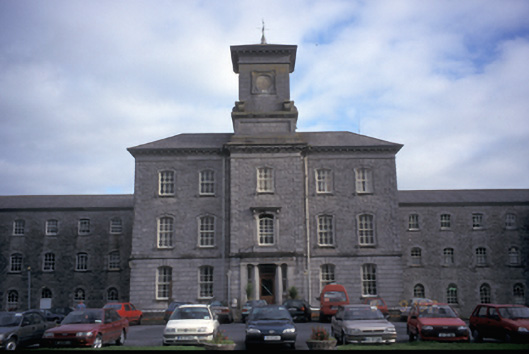 Our Lady's Hospitalhospital/infirmary · 622 yd
 Enclosure in KnockaderryEnclosure · 851 yd
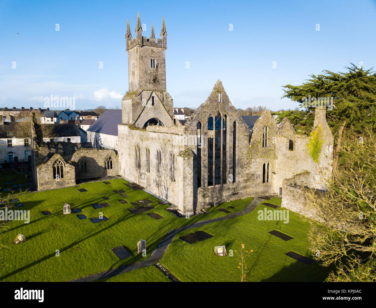 IndicatedFairy fort / stone ringfort · 1061 yd
 Temple VaraghanChurch · 1158 yd
 Ennis AbbeyMuseum · 1.3 mi
 Post Office FieldNature reserve · 1.4 mi
 Clare MuseumMuseum · 1.5 mi
 CastleCastle, tower house · 1.6 mi
 Ardcarney WoodWood · 1.8 mi
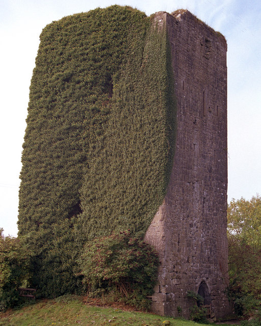 Ballygriffy CastleCastle · 2.4 mi
 Poul na gollorCave · 3.4 mi
 G.A.A. Commemorative StoneMemorial · 3.5 mi
Other information
Photo: Credit not shown in the picture search · Rights wording not checked; contact us if this picture should be removed