What is recorded here
Marked on the 1841-42 and 1914-15 OS maps as 'Toberfell' (Tobar Feille - well of the treachery). Situation and Description: This is a small circular well of pure chalybeat water. According to Smith (1756, 184) Fell's Well was named after the man who discovered it. He 'made a trial of its virtues in scorbutic cases, like German spa at the fountain head'. According to the ITA Survey of 1943 this well was known locally as 'Tobarín Donn' and that the local tradition to then curative powers of this well was very strong at that time (SMR File). Rahavanaig School collected the following tradition about this well; 'There was another holy well in Tullamore. There was a battle on Knockanore long ago after the soldiers washed their wounds in the water of Tobar Fel and were immediately cured. The people began to use the water of Tobar Fel for household use and the well and statues disappeared' (The Schools’ Collection, Volume 0400, Page 108; https://www.duchas.ie/en/cbes/4666572/4663099; https://www.duchas.ie/en/cbes/4666572/4663100). See attached colour photographs courtesy of Amanda Clarke. Toal, ‘North Kerry Archaeological Survey’. Dingle. Brandon in association with FAS Training and Employment Authority (1995), no. 920. Revised by: Caimin O’Brien
Date of revised upload: 17 May 2022
Marked on the 1841-42 and 1914-15 OS maps as 'Toberfell' (Tobar Feille - well of the treachery). Situation and Description: This is a small circular well of pure chalybeat water. According to Smith (1756, 184) Fell's Well was named after the man who discovered it. He 'made a trial of its virtues in scorbutic cases, like German spa at the fountain head'. According to the ITA Survey of 1943 this well was known…
From the National Monuments Service (Archaeological Survey of Ireland) record KE005-005
The monument record does not grant public access. Check the route and ask the landowner before entering private land.
- What survives
- Recorded monument
Places near here
 KnockanoreMountain / peak · 764 yd
 Bromore CliffsCliff · 2.4 mi
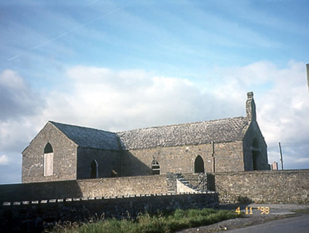 Doon Catholic ChurchChurch/chapel · 2.5 mi
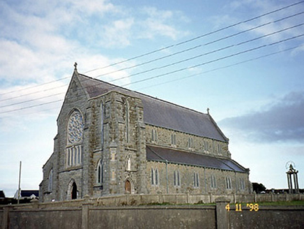 Saint John's Catholic ChurchChurch/chapel · 2.6 mi
 Nuns' BeachBeach / strand · 2.8 mi
 Ballybunion Cliff PathWalking route · 2.8 mi
 Doon PointHeadland · 2.9 mi
 Ladies' BeachBeach / strand · 2.9 mi
 Siege of Carrigafoyle CastleSiege · 5.7 mi
 Carrig IslandIsland · 5.8 mi
 Carrigaholt CastleCastle · 6.1 mi
 Carrigaholt CastleCastle, tower house · 6.1 mi
Pictures: Colin Park, Wikimedia Commons · CC BY-SA 2.0; dennis white, Wikimedia Commons · CC BY-SA 3.0; National Inventory of Architectural Heritage; Zairon, Wikimedia Commons · CC BY 4.0; Matthew Hatton, Geograph · CC BY-SA 2.0; Grainne Toomey, Wikimedia Commons · CC BY-SA 4.0; Borvan53, Wikimedia Commons · CC BY-SA 3.0; Colin Park, Geograph · CC BY-SA 2.0; Warren Buckley, Wikimedia Commons · CC BY-SA 2.0; The Banner, Wikimedia Commons · CC BY-SA 3.0
More archaeology and monuments in County Kerry · All of County Kerry
What do you know about this place?