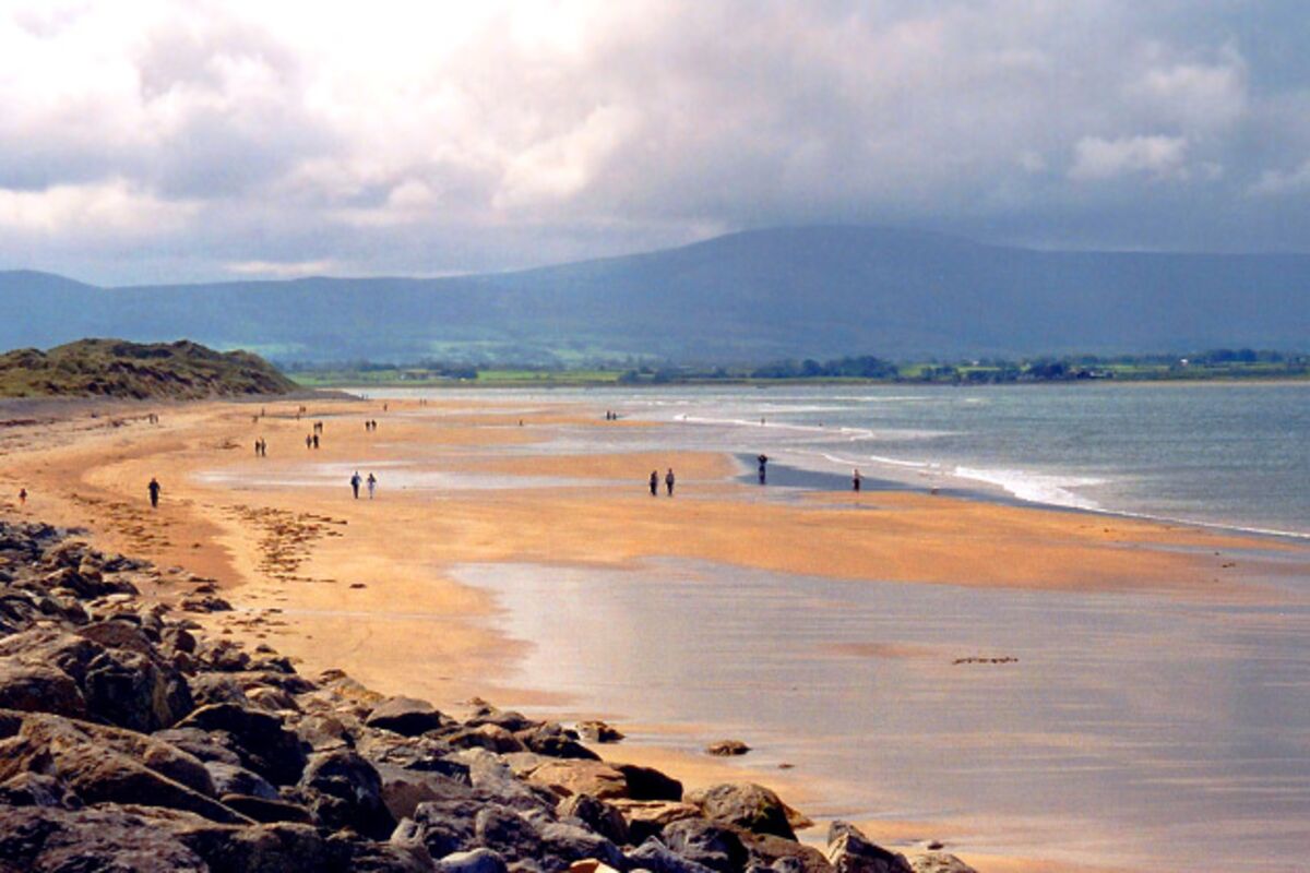
What is recorded here
In low-lying wet ground interspersed with rock outcrops, at the southern foot of a low ridge. A damp grass-covered area (diam. c. 3.5m) is defined on its W side by a 4m long arc of mostly contiguous stones; a single stone (0.65m x 0.9m x 0.5m) lies 1m E of the N end of the arc and another (0.8m x 0.5m x 0.35m) 3.8m E of the S end. According to local information, the well was formerly completely enclosed by a stone wall but this was partially demolished when an adjacent ash tree fell during a hurricane c. 1958. O'Rorke ([1889], vol. 2, 247) mentioned that the well was '…till recently…frequented by crowds from all quarters including the town of Sligo'. In 1942-4 it was recorded as 'Tober Domhnaigh' and also that it had become known as 'Tobervanny' and was no longer visited (ITA). There is an ecclesiastical enclosure (SL020-171003-) c. 50m to N and a graveyard (SL020-171002-) c. 80m to N.
The above description is derived from the published 'Archaeological Inventory of County Sligo' compiled by Ursula Egan, Elizabeth Byrne, Mary Sleeman with Sheila Ronan and Connie Murphy (Dublin Stationery Office, 2005).
Date of upload: 18 January 2008
Linked to Saint Doney, Toberdoney is traditionally associated with cures for skin ailments and general well-being. The site features a small stone alignment, suggesting a ritual or devotional function, though its exact historical or religious significance remains unclear.
The monument record does not grant public access. Check the route and ask the landowner before entering private land.
- What survives
- Recorded monument
Places near here
 Church in BallydawleyChurch · 116 yd
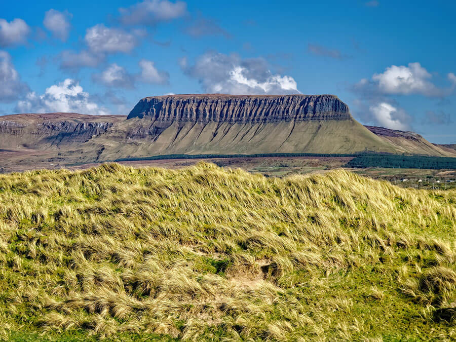 Man-made underground passage in BallydawleyMan-made underground passage · 360 yd
 IndicatedFairy fort / earthen ringfort · 494 yd
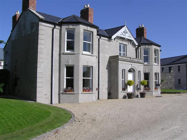 Castle Darganhouse · 1226 yd
 Union RockForest · 1.0 mi
 Castle (in Ruins)Castle, tower house · 1.3 mi
 CastleCastle, motte · 1.4 mi
 European ashEuropean ash · 1.5 mi
 Battle of Collooneybattle · 1.7 mi
 Teeling MonumentMemorial · 1.7 mi
 Giants GraveArchaeological place · 1.7 mi
 Aghamore BayBay · 2.8 mi
Other information
Photo: Credit not shown in the picture search · Rights wording not checked; contact us if this picture should be removed