What is recorded here
It is called Toberindiry in the Civil Survey (1654-6) where it is a significant point on the boundary between Meelinagh and Castle Ellis parishes (Simington 1953, 51). It is described as Toberdeera on the 1839 ed. of the OS 6-inch map, and is located just off the SW-facing slope of a col between hills c. 900m to the NNW and c. 370m to the SSE and at a point where three townlands meet. This is a natural spring that is the source of two streams, one of which is the River Sow and runs off to the SW and the other runs off the to the S but joins the Sow below Ballaghkeen village, c. 1.5km distant. There is no evidence that it was ever venerated.
Compiled by: Michael Moore
Date of upload: 17 July, 2012
The monument record does not grant public access. Check the route and ask the landowner before entering private land.
- What survives
- Recorded monument
Places near here
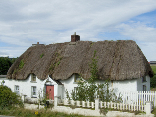 farm housefarm house · 1337 yd
 graveyard/cemeterygraveyard/cemetery · 1526 yd
 1916 MemorialMemorial · 1.2 mi
 1798 MemorialMonument · 1.3 mi
 Tulach a' tSolaisMonument · 1.4 mi
 St. Johns WellHoly well · 1.4 mi
 Battle of Oulart Hill signVisitor information · 1.5 mi
 Oulart HillMountain / peak · 1.9 mi
 Embanked enclosureCastle, motte · 2.5 mi
 Ballingowan MoteCastle, motte · 2.7 mi
 Fontainebleau service treeFontainebleau service tree · 3.8 mi
 Birds of PreyVisitor information · 3.9 mi