What is recorded here
It is described as Tobercaoch – the blind well - in gothic lettering on the 1839 and 1940 eds of the OS 6-inch map, and it is located on a W-facing slope that is at the head of a small E-W valley. John O’Donovan writing c. 1840 mentions it as having a cure for blindness (O’Flanagan 1933, vol. 2, 341). The well is now dry but it is built of drystone walling and is covered with a large lintel (dims. 1.1m x 0.9m) with an opening (Wth 0.6m; H 0.17m) on the W side.
Compiled by: Michael Moore
Date of upload: 1 August, 2012
Tobercaoch, known as the "Blind Well," is traditionally associated with Saint Caoch, a lesser-known early Irish saint, and was believed to have healing properties, particularly for eye ailments. The name and its depiction on historical maps suggest a longstanding local reverence, though specific folklore or recorded rituals linked to the site are sparse.
The monument record does not grant public access. Check the route and ask the landowner before entering private land.
- What survives
- Recorded monument
Places near here
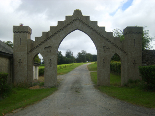 Talbot Hallgates/railings/walls · 322 yd
 Rosevillefarm house · 406 yd
 Embanked enclosureFairy fort / ringfort · 706 yd
 Site of Arnestown CastleCastle, unclassified · 1098 yd
 Fulacht fia in Arnestown (bantry By.)Fulacht fia · 1100 yd
 Kelly's WoodForest · 1.0 mi
 Crutched FriarsMemorial · 1.1 mi
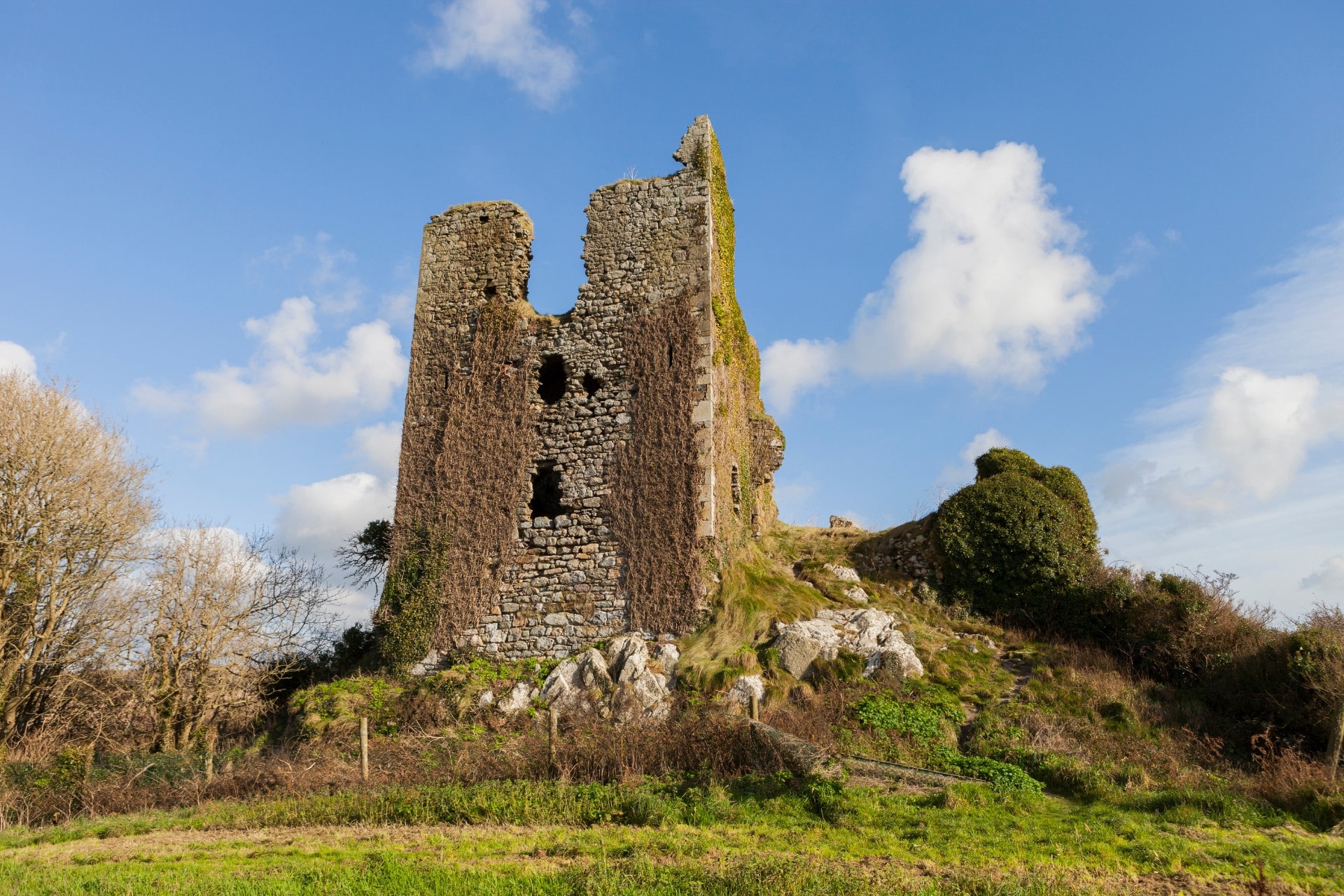 site of CastleCastle, unclassified · 1.1 mi
 Ros Tapestry ExhibitionGallery · 1.2 mi
 Dunbrody Famine Ship Visitor CentreHeritage attraction · 1.2 mi
 O'NeillMemorial · 1.2 mi
 Battle of New Ross (1798)Major battlefield · 1.2 mi