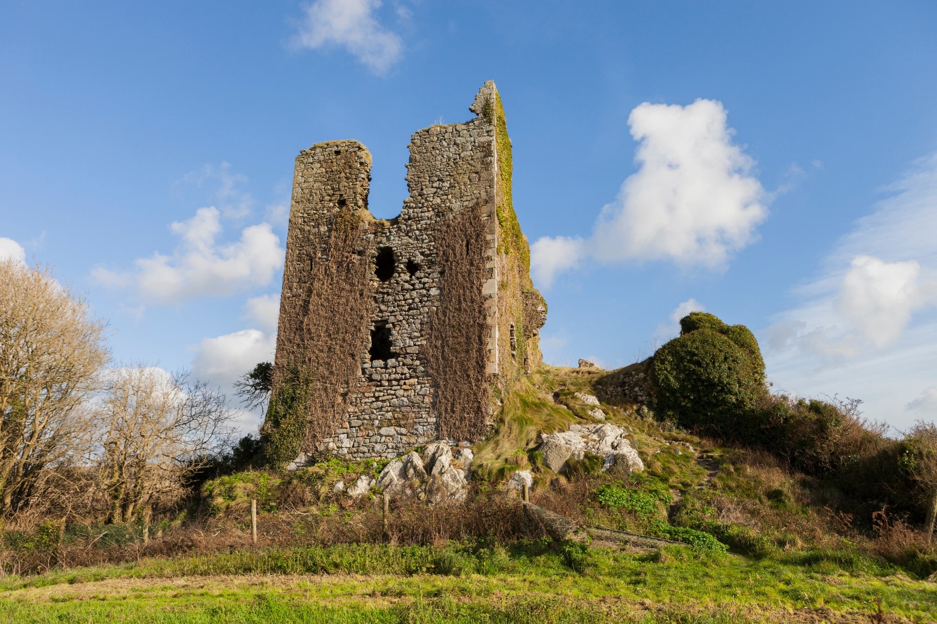
What is recorded here
Finshoge castle is a rath hidden in a steep Wexford valley, remembered only through a boundary remark and a local pointer. That absence is not emptiness; it is a jar sealed without a label. Come beside the stream, sit near the ridge, and ask what the castle kept before it became a castle. The valley may return the name, not the shape.
Located in the bottom of a steep-sided S-N valley and towards its head, with a stream c. 30m to the W. The 'butt of an old castle' at Finsoke is mentioned in describing the boundary of Old Ross parish in the Civil Survey (1654-6) (Simington 1953, 205) and the rath (WX034-008002-) was pointed out to John O’Donovan c. 1840 as the site of Finshoge castle (O’Flanagan 1933, vol. 2, 259). There is no evidence of a masonry structure, but the rath may be the castle.
Compiled by: Michael Moore
Date of upload: 13 September, 2012
The monument record does not grant public access. Check the route and ask the landowner before entering private land.
- What survives
- Recorded monument
Places near here
 Arnestown Housefarm house · 607 yd
 IndicatedEnclosure · 815 yd
 Embanked enclosureFairy fort / ringfort · 864 yd
 Site of Arnestown CastleCastle, unclassified · 1551 yd
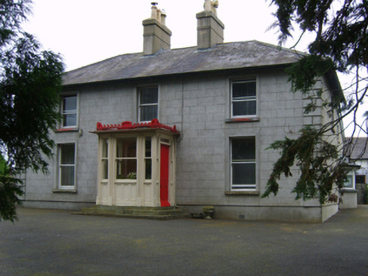 Erin Valefarm house · 1707 yd
 Castle (in ruins)Castle, tower house · 2.2 mi
 Lacken HillMountain / peak · 2.2 mi
 Crutched FriarsMemorial · 2.2 mi
 Ros Tapestry ExhibitionGallery · 2.3 mi
 Dunbrody Famine Ship Visitor CentreHeritage attraction · 2.3 mi
 O'NeillMemorial · 2.3 mi
 SlievecoiltiaMountain / peak · 2.4 mi
Other information
Photo: Credit not shown in the picture search · Rights wording not checked; contact us if this picture should be removed