
What is recorded here
From the National Monuments Service (Archaeological Survey of Ireland) record CL027-025
Places near here
Photo credits
- Maker not stated on source page, www.sciencephoto.com
- Maker not stated on source page, tr.pinterest.com
- Maker not stated on source page, irisharchaeology.org
- Roger Diel, Geograph · CC BY-SA 2.0
- Maker not stated on source page, commons.wikimedia.org
- Maker not stated on source page, www.ireland.com
- National Inventory of Architectural Heritage
- Maker not stated on source page, www.wikidata.org
- Natasha Barton, credited by The Clare Echo, www.clareecho.ie
 Megalithic structure in KiltanonMegalithic structure · 386 yd
Explorer Tom Megalithic structure in Kiltanon has four stones standing in line, side by side, looking very defaced. It’s not on any…
 Megalithic structure in MilltownMegalithic structure · 763 yd
Explorer Tom Megalithic structure in Milltown hates visitors who wear bright yellow because it thinks they’re lemons trying to roll…
 Holy Well784 yd
Explorer Tom Holy Well in Kiltanon is currently managed by a terrier who thinks every leaf falling is an intruder to be chased. The…
 Megalithic tomb in MilltownMegalithic tomb · 1300 yd
Explorer Tom Megalithic tomb in Milltown hears the wind whispering gossip about the neighbours through its thick stone walls. It…
 Tyredagh Castle (in ruins)Castle, tower house · 1346 yd
Explorer Tom Tyredagh Castle was built by Mahon MacNamara and sits on a natural rock outcrop. I bet Queen Elizabeth II visited in…
 Standing stone in Ballyslattery or NewgroveStanding stone · 1377 yd
Explorer Tom Standing stone in Ballyslattery Or Newgrove caused the whole parish to argue about whether it was a church marker or…
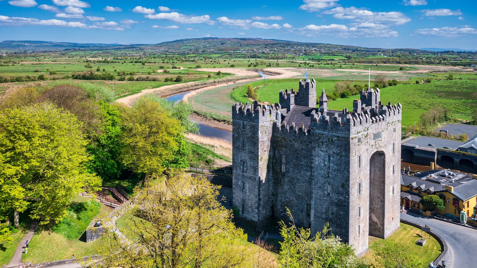 Bunavory CastleCastle · 1554 yd
Explorer Tom Bunavory Castle has a long-standing grudge with the weather, mostly because the rain keeps trying to take its roof off…
 Bullaun stone in Ballyslattery or NewgroveBullaun stone · 1.1 mi
Explorer Tom Ballyslattery's Bullaun stone is blocking a wedge tomb entrance like a drunk at a club door. It's got a hollow that…
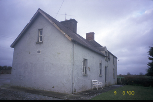 worker's house1.3 mi
Explorer Tom Worker's house in Cloonteen witnessed a love story that ended with a thrown shoe, probably. It’s a private house now…
 Fairy fort / earthen ringfort in Moymore (tulla Upper By.)Fairy fort / earthen ringfort · 1.4 mi
Explorer Tom Fairy fort / earthen ringfort in Moymore bragged about surviving a storm that flattened three fences nearby. It’s still…
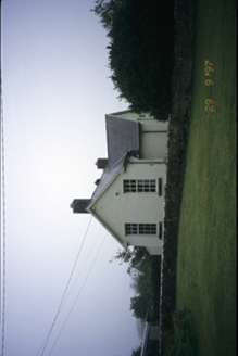 Scoil Náisiúnta MacaireSchool · 1.5 mi
Explorer Tom Scoil Náisiúnta Macaire in Maghera is a school from 1929 that looks like it’s waiting for its parents to come pick it…
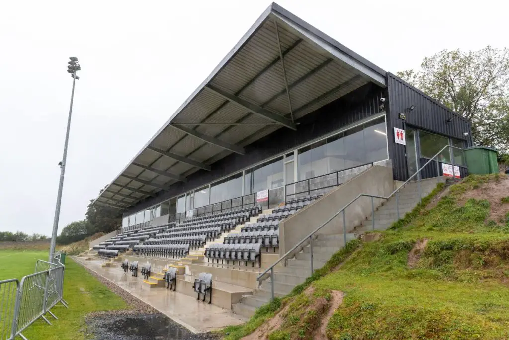 Páirc an Dalaigh, TullaGAA ground · 2.3 mi
More archaeology and monuments in County Clare · All of County Clare

What do you know about this place?Tap to add a comment or ask a question