What is recorded here
Located at the bottom of fairly steep NE and NW-facing slopes in a gently undulating landscape. It is described in gothic lettering as ‘Toberboyoga’ derived from Tober Buidheoige - Buíochán (Jaundice) on the 1836 and 1912 editions of the OS 6-inch map. It formerly had a reputation for curing jaundice but the well was defunct by the 1830s (OS Name Books, 104, 262). A slight grass-covered hollow (diam. c. 8m; max. D 1m) open SW-N-E is evident.
Compiled by: Michael Moore
Date of upload: 26 February 2019
The monument record does not grant public access. Check the route and ask the landowner before entering private land.
- What survives
- Recorded monument
Places near here
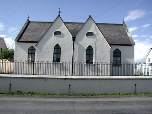 Drumbaragh National Schoolschool · 1292 yd
 Sylvan Park WoodsForest · 1294 yd
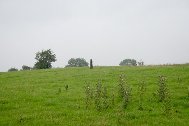 Standing stone in Balnagon UpperStanding stone · 1600 yd
 New Groveoutbuilding · 1.0 mi
 Decoy WoodWood · 1.0 mi
 Grave YardGraveyard · 1.3 mi
 The Kieran Flanagan WayMemorial · 2.3 mi
 The Pauper's CemeteryMemorial · 2.3 mi
 CloncatMountain / peak · 2.7 mi
 Round TowerCastle, tower house · 2.7 mi
 Balgree MoteCastle, motte · 2.8 mi
 MountainpoleMountain / peak · 3.0 mi