
What is recorded here
Known locally as 'Tobar an Ratha Bhain' (Hartnett 1947, 17). Identified as wheel-house of horizontal wheeled mill (9309) and excavated by Fahy (1956a,13-57), prior to flooding by Lee Valley Hydro-electric Scheme. He described well as having been 'three-walled, drystone structure (H 5ft; 2ft x 7ft) open to W but…
Read the whole record
From the National Monuments Service (Archaeological Survey of Ireland) record CO071-128
Places near here
Photo credits
- National Inventory of Architectural Heritage
- Maker not stated on source page, ru.pinterest.com
- Maker not stated on source page, commons.wikimedia.org
- Maker not stated on source page, pixels.com
- Lynch & Associates project gallery; individual photographer not stated, lynchconsultingengineers.com
- Kmcnamee, Wikimedia Commons · CC BY-SA 4.0
 Lee ViewHouse · 577 yd
Explorer Tom Lee View in Inchinashingane would teach history by making you do push-ups for every date you get wrong. It’s a…
 Coolcour HouseGate lodge · 952 yd
Explorer Tom Coolcour gate lodge made a New Year’s resolution to stop overhanging its eaves so much. It’s modest but full of…
 Castle WellWell · 1001 yd
Explorer Tom Castle Well in Mashanaglass is now a pump house, which is fancy talk for 'the water got promoted.' The seagulls say…
 Macloneigh Church (in Ruins)Church · 1.2 mi
Explorer Tom Macloneigh Church in Farranavarrigane is covered in ivy, which makes it look like nature is slowly reclaiming its…
 Fairy fort / earthen ringfort in Sleveen EastFairy fort / earthen ringfort · 1.2 mi
Explorer Tom Fairy fort / earthen ringfort in Sleveen East is an oval saucer overlooking two rivers. The stone-faced scarp looks…
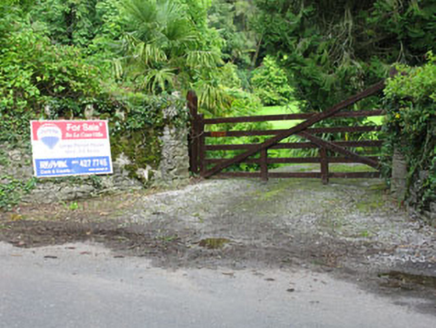 De Lacour HouseCountry house · 1.7 mi
Explorer Tom De Lacour House has an ornamental tower that screams 'look at how rich we were'. The eaves hang low like a heavy…
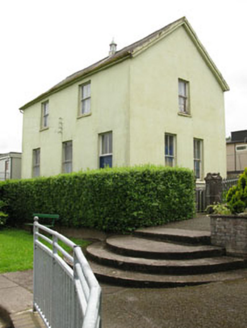 school1.8 mi
Explorer Tom School in Sleveen East is secretly proud of a potato it grew in the garden back in the day. It used to train young…
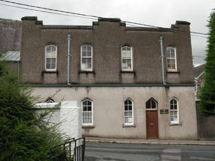 Saint Mary's ConventGate lodge · 1.8 mi
Explorer Tom Saint Mary's Convent gate lodge in Sleveen has pointed arch openings and verandah brackets that are doing most of the…
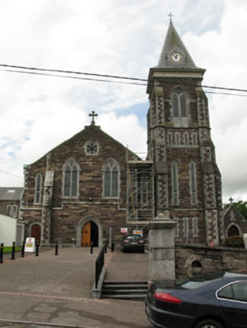 Saint Colman's Catholic ChurchChurch/chapel · 1.9 mi
Explorer Tom Saint Colman's Catholic Church in Sleveen East is showing off its Gothic Revival style from around 1840. It’s got…
 Bishop McEgan Park, MacroomGAA ground · 2.0 mi
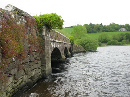 Annahala BridgeBridge · 2.0 mi
Explorer Tom Annahala Bridge over the Gearagh River is now just a pedestrian walkway because cars got too big for its taste. It’s…
 Tom Creedon Park, MacroomGAA ground · 2.3 mi
More archaeology and monuments in County Cork · All of County Cork

What do you know about this place?Tap to add a comment or ask a question