What is recorded here
In a low-lying position in an area of karstic outcrop and in an area that floods in winter. Named ‘Toberaun’ on the 1920 ed. of the OS 6-inch map. This well comprises a circular basin (diam. 2m) with an extension/arm (L c. 1.5m; Wth 1m) at the NW, surrounded by a poorly built modern drystone wall (Wth 0.4m; max. H 0.9m) with a break at the NE (now occupied by a young ash tree) where there may have been steps down to the well. The water surface is c. 0.9m below the surrounding ground level. The well is shallow (D 0.2-0.3m).
Compiled by: Mary Tunney and Conn Herriott
Date of upload: 23 January 2023
The monument record does not grant public access. Check the route and ask the landowner before entering private land.
- What survives
- Recorded monument
Places near here
 Bawn in DerryowenBawn · 941 yd
 IndicatedEnclosure · 1508 yd
 Bunnakippaun Castle (in ruins)Castle, unclassified · 1.0 mi
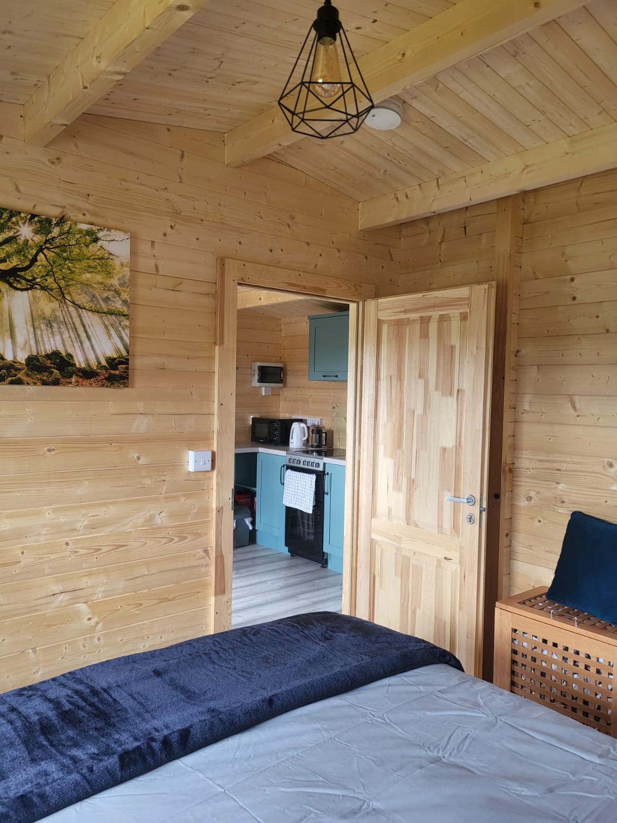 Enclosure in BallinlisheenEnclosure · 1.1 mi
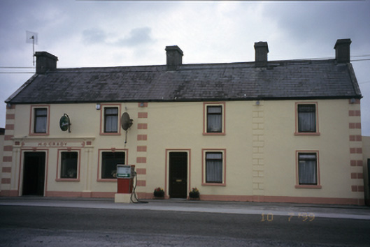 M. O'Gradyhouse · 1.3 mi
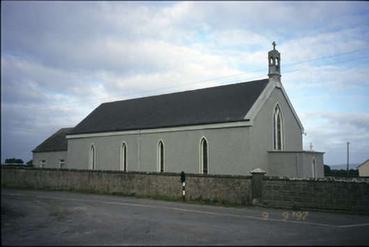 Saint Michael's Catholic Churchchurch/chapel · 1.7 mi
 Kilmacduagh MonasteryHeritage attraction · 2.5 mi
 Kilmacduagh Monastic SiteVisitor information · 2.6 mi
 Slieve RoeMountain / peak · 3.8 mi
 Mullagh MoreMountain / peak · 4.0 mi
 Burren National ParkNature reserve · 4.1 mi
 Swan IslandIsland · 4.3 mi